
Bowl barrow on Edburton Hill, 380m west of the motte and bailey castle
Bowl barrow on Edburton Hill, 380m west of the motte and bailey castle, bowl barrow in Upper Beeding, Horsham, England, UK
Localização: Upper Beeding
Coordenadas GPS: 50.88520,-0.24755
Última atualização: 3 de março de 2025 às 00:50

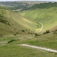
Devil's Dyke, Sussex
2.5 km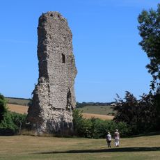
Bramber Castle
4.8 km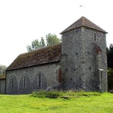
St Botolph's Church, Botolphs
4.4 km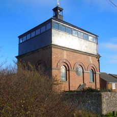
Foredown Tower
4.5 km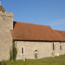
St Helen's Church, Hangleton
5 km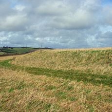
Thundersbarrow Hill
2.6 km
Woods Mill
3.1 km
Newtimber Place
4.5 km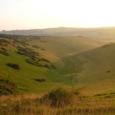
Beeding Hill to Newtimber Hill
1.7 km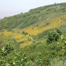
Mill Hill, Shoreham
4.1 km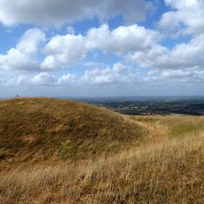
Castelo de Edburton
417 m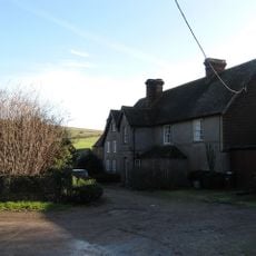
Saddlescombe Preceptory
3.9 km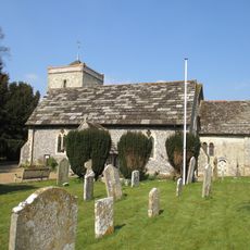
The Parish Church of St Peter
4.1 km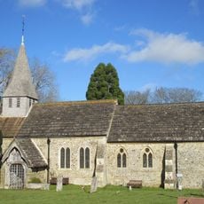
The Parish Church of St Peter
4 km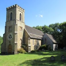
The Parish Church of St John Evangelist
4.5 km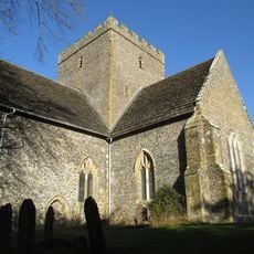
The Church of the Holy Trinity, Poynings
3.3 km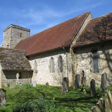
Church of St Andrew
515 m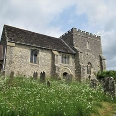
The Parish Church of St Nicholas
4.8 km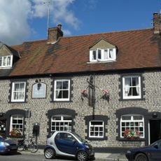
The Stags Head Public House
5.1 km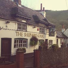
The Shepherd And Dog Public House
1.4 km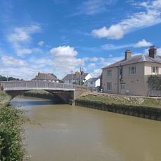
The Bridge Inn
4.2 km
Star House
5 km
Upper Beeding War Memorial
4.1 km
Former Malthouse And Brewery
5 km
Redhouse Farmhouse
4.9 km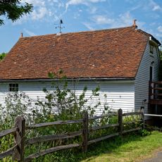
The Mill Building At Woods Mill
3.2 km
Devil's Dyke hillfort
2.6 km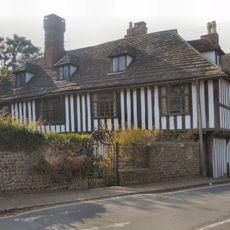
St Mary's House
4.5 kmAvaliações
Visitou este local? Toque nas estrelas para avaliá-lo e partilhar a sua experiência ou fotos com a comunidade! Experimente agora! Você pode cancelar a qualquer momento.
Encontra tesouros escondidos em cada aventura!
De pequenos cafés cheios de charme a miradouros secretos, foge das multidões e descobre lugares que têm mesmo a tua cara. A nossa app torna tudo simples: pesquisa por voz, filtros espertos, rotas otimizadas e dicas genuínas de viajantes do mundo inteiro. Descarrega já para viveres a aventura no teu telemóvel!

Uma nova abordagem para descobrir o turismo❞
— Le Figaro
Todos os lugares que valem a pena explorar❞
— France Info
Um passeio sob medida em apenas alguns cliques❞
— 20 Minutes