
Stody, village in the United Kingdom
Localização: North Norfolk
Coordenadas GPS: 52.87291,1.05409
Última atualização: 3 de março de 2025 às 18:00
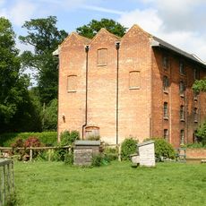
Letheringsett Watermill
3.8 km
Letheringsett Brewery watermill
3.9 km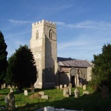
St Lawrence Parish Church, Hunworth
996 m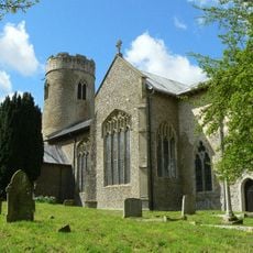
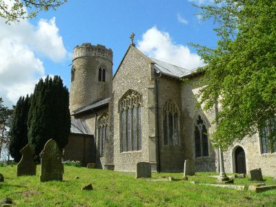
Church of St Mary
100 m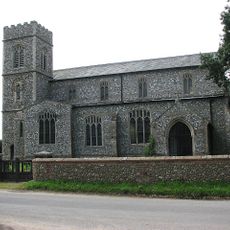
Church of St Peter and St Paul
3.8 km
Church of St Maurice
1.8 km
Church of All Saints
2.5 km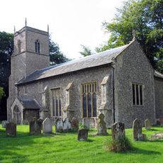
Church of St Andrew
2 km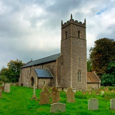
Church of All Saints
1.4 km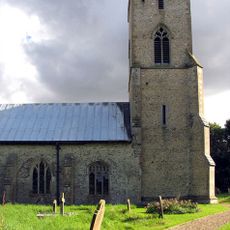
Church of All Saints
3.1 km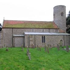
Church of St Andrew
4 km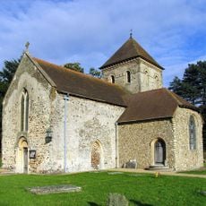
Church of St Peter, Melton Constable
3.5 km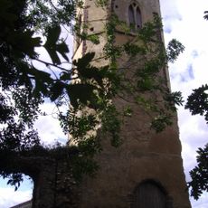
Remains of Former Parish Church of St Peter and St Paul
3 km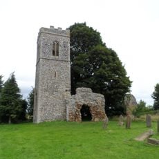
Church of St Mary (Ruins)
1.9 km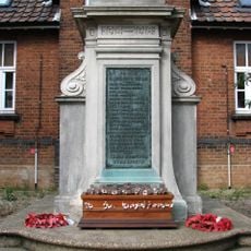
Melton Constable War Memorial
2.2 km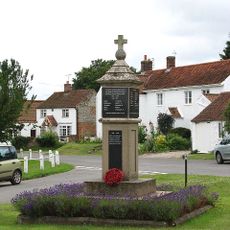
Edgefield War Memorial
4.1 km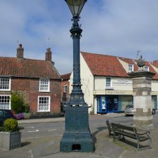
Signpost
4.2 km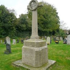
Briston War Memorial
2.5 km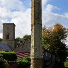
Sharrington village cross
3 km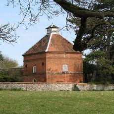
Dovecote, Circa 30 Metres South East Of Thornage Hall
1.6 km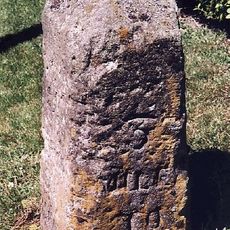
Milestone, S of "Newlands", Norwich Road, next to road sign
4.2 km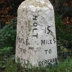
Milestone, by Oakhill House
2.7 km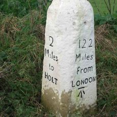
Milestone, c.halfway between lane to Hunworth to S, and Hill House
1.7 km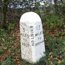
Milestone, 20yds S of house called "Milestone" on E side
1.1 km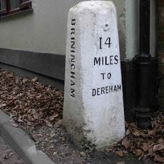
Milestone, by Stables Cottage
2.1 km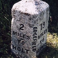
Milestone, opp. Valley Farm
3.4 km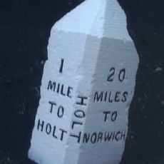
Milestone, 60yds N of FP style, c.1/2mile S of Holt Country Park entrance
3.3 km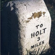
Milestone, 200yds E of road SP Sharrington Village Hall
3.3 kmVisitou este local? Toque nas estrelas para avaliá-lo e partilhar a sua experiência ou fotos com a comunidade! Experimente agora! Você pode cancelar a qualquer momento.
Encontra tesouros escondidos em cada aventura!
De pequenos cafés cheios de charme a miradouros secretos, foge das multidões e descobre lugares que têm mesmo a tua cara. A nossa app torna tudo simples: pesquisa por voz, filtros espertos, rotas otimizadas e dicas genuínas de viajantes do mundo inteiro. Descarrega já para viveres a aventura no teu telemóvel!

Uma nova abordagem para descobrir o turismo❞
— Le Figaro
Todos os lugares que valem a pena explorar❞
— France Info
Um passeio sob medida em apenas alguns cliques❞
— 20 Minutes