
Seven sections of Stane Street Roman road between Eartham and Bignor, a prehistoric linear boundary and two bowl barrows
Seven sections of Stane Street Roman road between Eartham and Bignor, a prehistoric linear boundary and two bowl barrows, bowl barrow in Slindon, Arun, England, UK
Localização: Slindon
Coordenadas GPS: 50.89930,-0.63753
Última atualização: 14 de maio de 2025 às 20:48
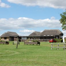
Vila romana de Bignor
3.9 km
Eartham Pit
5 km
Halnaker Windmill
4.6 km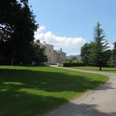
Bignor Park
4.8 km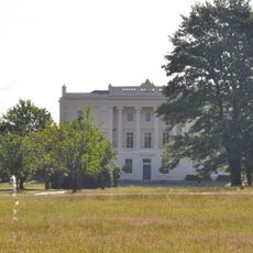
Burton Park
5.6 km
The Parish Church of St Mary
3.6 km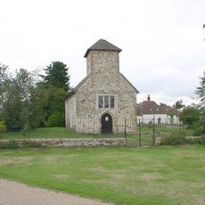
St Richard's Church
5.7 km
The Parish Church of St Mary Magdalene
3.2 km
St Mary The Virgin, Upwaltham
2.5 km
The Parish Church of All Saints
5.5 km
The Parish Church of St Mary
4.3 km
The Parish Church of St John the Baptist
4.1 km
The Parish Church of St Margaret
3.3 km
The Parish Church of St Peter
4.5 km
The Parish Church of the Holy Cross
3.6 km
Church of Holy Trinity, Duncton
5.6 km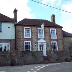
The White Horse Inn
3.8 km
Prattendens
5.5 km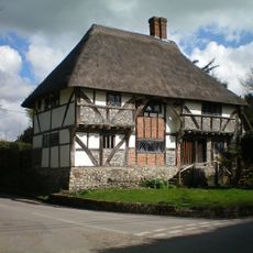
The Yeoman's House
3.6 km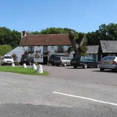
The Cricketers Inn
5 km
Eartham House
3.4 km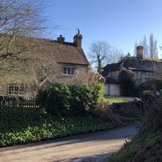
Bakers Cottage
4.2 km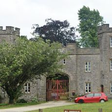
Whiteways Lodge At Arundel Park
4.6 km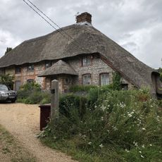
The Thatch
5.4 km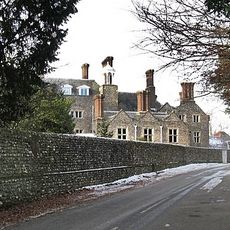
Slindon House
3.5 km
Lavington Park
4.5 km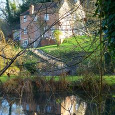
Bignor Mill
3.7 km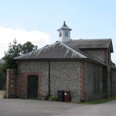
The Stables of Bignor Park to the north-west of the house
4.8 kmAvaliações
Visitou este local? Toque nas estrelas para avaliá-lo e partilhar a sua experiência ou fotos com a comunidade! Experimente agora! Você pode cancelar a qualquer momento.
Encontra tesouros escondidos em cada aventura!
De pequenos cafés cheios de charme a miradouros secretos, foge das multidões e descobre lugares que têm mesmo a tua cara. A nossa app torna tudo simples: pesquisa por voz, filtros espertos, rotas otimizadas e dicas genuínas de viajantes do mundo inteiro. Descarrega já para viveres a aventura no teu telemóvel!

Uma nova abordagem para descobrir o turismo❞
— Le Figaro
Todos os lugares que valem a pena explorar❞
— France Info
Um passeio sob medida em apenas alguns cliques❞
— 20 Minutes