
Bowl barrow south of Westburton Hill: part of Westburton Hill round barrow cemetery
Bowl barrow south of Westburton Hill: part of Westburton Hill round barrow cemetery, bowl barrow in Bury, Chichester, England, UK
Localização: Bury
Coordenadas GPS: 50.90720,-0.59312
Última atualização: 24 de março de 2025 às 08:55
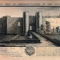
Amberley Castle
3.7 km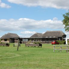
Vila romana de Bignor
1.7 km
Amberley Museum and Heritage Centre
4 km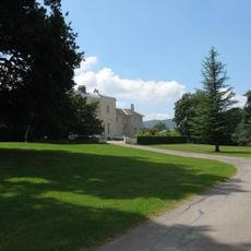
Bignor Park
2.7 km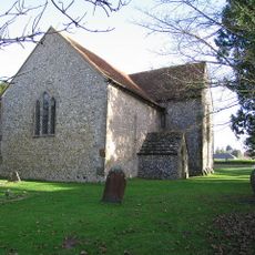
St Mary the Virgin's Church, North Stoke
3.7 km
Amberley Castle
3.7 km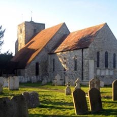
The Parish Church of St Michael and All Angels
3.8 km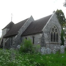
The Parish Church of St Mary Magdalene
3 km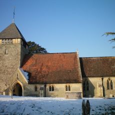
The Parish Church of St Giles
4.9 km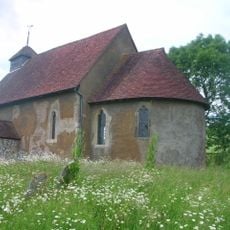
St Mary The Virgin, Upwaltham
4.8 km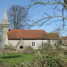
The Parish Church of St Leonard
4.6 km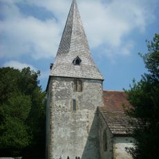
The Parish Church of St John the Evangelist
2.6 km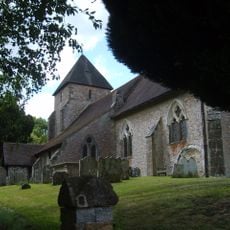
The Parish Church of St John the Baptist
2.9 km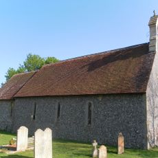
The Parish Church of St Nicholas
3.3 km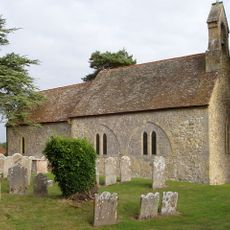
The Parish Church of St Mary
3.6 km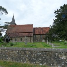
The Parish Church of the Holy Cross
1.9 km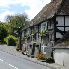
The George And Dragon Inn
3.1 km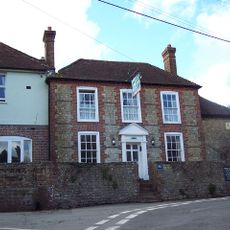
The White Horse Inn
2.5 km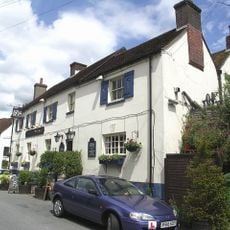
The Black Horse Inn
4.2 km
Prattendens
2.3 km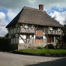
The Yeoman's House
1.8 km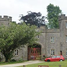
Whiteways Lodge At Arundel Park
2.6 km
Bignor Mill
2.1 km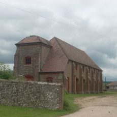
Barn At South Stoke Farm To The South West Of The Farmhouse
4.6 km
The Stables of Bignor Park to the north-west of the house
2.7 km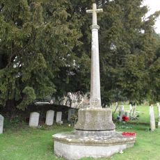
Bury War Memorial, West Sussex
2.6 km
Timberley Viaduct
3.4 km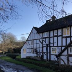
Fogdens
1.1 kmAvaliações
Visitou este local? Toque nas estrelas para avaliá-lo e partilhar a sua experiência ou fotos com a comunidade! Experimente agora! Você pode cancelar a qualquer momento.
Encontra tesouros escondidos em cada aventura!
De pequenos cafés cheios de charme a miradouros secretos, foge das multidões e descobre lugares que têm mesmo a tua cara. A nossa app torna tudo simples: pesquisa por voz, filtros espertos, rotas otimizadas e dicas genuínas de viajantes do mundo inteiro. Descarrega já para viveres a aventura no teu telemóvel!

Uma nova abordagem para descobrir o turismo❞
— Le Figaro
Todos os lugares que valem a pena explorar❞
— France Info
Um passeio sob medida em apenas alguns cliques❞
— 20 Minutes