Baixe o aplicativo around.us
Para uma melhor experiência, use nosso aplicativo móvel.
Popularidade :

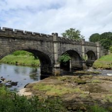
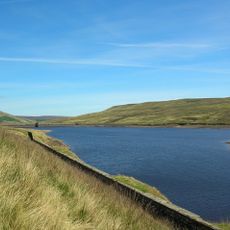
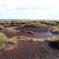
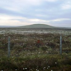
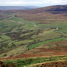
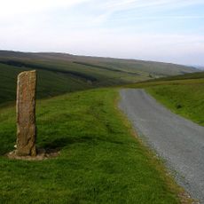
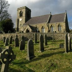
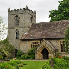
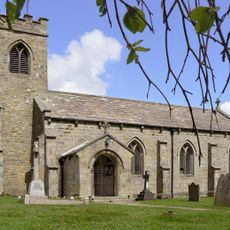
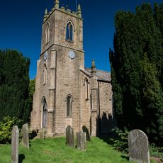
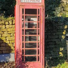
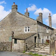
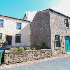
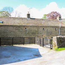
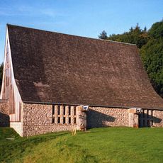
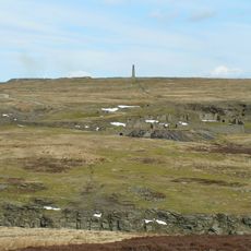
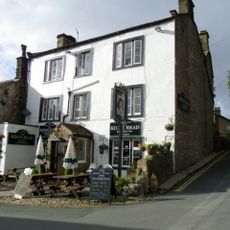
Stonebeck Up, Civil parish in North Yorkshire, England

Localização: Harrogate

Fontes: Wikimedia, OpenStreetMap

Filtros

Stonebeck Up Civil parish in North Yorkshire, England

Reino Unido 0 m
Stonebeck Up
Stonebeck Up Civil parish in North Yorkshire, England
Reino Unido 0 m
Great Whernside Mountain in United Kingdom

Reino Unido 5.4 km
Great Whernside
Great Whernside Mountain in United Kingdom
Reino Unido 5.4 km
Nidd Aqueduct Aqueduto no Reino Unido

Reino Unido 2.4 km
Nidd Aqueduct
Nidd Aqueduct Aqueduto no Reino Unido
Reino Unido 2.4 km
Little Whernside Mountain in the United Kingdom

Reino Unido 4.1 km
Little Whernside
Little Whernside Mountain in the United Kingdom
Reino Unido 4.1 km
Church of St Chad Church building in Stonebeck Up, Harrogate, North Yorkshire, UK

Reino Unido 3.7 km
Church of St Chad
Church of St Chad Church building in Stonebeck Up, Harrogate, North Yorkshire, UK
Reino Unido 3.7 km
The Victory Memorial War memorial in Fountains Earth, Harrogate, North Yorkshire, UK

Reino Unido 4.7 km
The Victory Memorial
The Victory Memorial War memorial in Fountains Earth, Harrogate, North Yorkshire, UK
Reino Unido 4.7 km
K6 Telephone Kiosk K6 telephone box in Middlesmoor, Harrogate, North Yorkshire, UK

Reino Unido 3.7 km
K6 Telephone Kiosk
K6 Telephone Kiosk K6 telephone box in Middlesmoor, Harrogate, North Yorkshire, UK
Reino Unido 3.7 km
Meugher Mountain in United Kingdom

Reino Unido 4.3 km
Meugher
Meugher Mountain in United Kingdom
Reino Unido 4.3 km
Arkleside Bridge Bridge in Carlton Highdale, Richmondshire, North Yorkshire, UK

Reino Unido 6.4 km
Arkleside Bridge
Arkleside Bridge Bridge in Carlton Highdale, Richmondshire, North Yorkshire, UK
Reino Unido 6.4 km
Hunters Stone Guidestone in Carlton Highdale, Richmondshire, North Yorkshire, UK

Reino Unido 6.6 km
Hunters Stone
Hunters Stone Guidestone in Carlton Highdale, Richmondshire, North Yorkshire, UK
Reino Unido 6.6 km
Guidestone, Lofthouse Moor, jct tracks from XLOMb & XLOMc Guide stone in Fountains Earth, Harrogate, UK

Reino Unido 5.9 km
Guidestone, Lofthouse Moor, jct tracks from XLOMb & XLOMc
Guidestone, Lofthouse Moor, jct tracks from XLOMb & XLOMc Guide stone in Fountains Earth, Harrogate, UK
Reino Unido 5.9 km
Church of St Botolph Church building in Carlton Highdale, Richmondshire, North Yorkshire, UK

Reino Unido 6.8 km
Church of St Botolph
Church of St Botolph Church building in Carlton Highdale, Richmondshire, North Yorkshire, UK
Reino Unido 6.8 km
Guidestone, NE of Lofthouse Guide stone in Fountains Earth, Harrogate, UK

Reino Unido 5.8 km
Guidestone, NE of Lofthouse
Guidestone, NE of Lofthouse Guide stone in Fountains Earth, Harrogate, UK
Reino Unido 5.8 km
Mossdale Caverns Sistema de cavernas em Yorkshire Dales, Inglaterra

Reino Unido 6.2 km
Mossdale Caverns
Mossdale Caverns Sistema de cavernas em Yorkshire Dales, Inglaterra
Reino Unido 6.2 km
Tor Dike linear earthwork Archaeological site in Kettlewell with Starbotton, Craven, England, UK

Reino Unido 7.3 km
Tor Dike linear earthwork
Tor Dike linear earthwork Archaeological site in Kettlewell with Starbotton, Craven, England, UK
Reino Unido 7.3 km
Guidestone, Ramsgill Guide stone in Fountains Earth, Harrogate, UK

Reino Unido 7.1 km
Guidestone, Ramsgill
Guidestone, Ramsgill Guide stone in Fountains Earth, Harrogate, UK
Reino Unido 7.1 km
Ramsgill War Memorial War memorial in the UK

Reino Unido 7.3 km
Ramsgill War Memorial
Ramsgill War Memorial War memorial in the UK
Reino Unido 7.3 km
Church of St Mary the Virgin Church building in Stonebeck Down, Harrogate, North Yorkshire, UK

Reino Unido 7.4 km
Church of St Mary the Virgin
Church of St Mary the Virgin Church building in Stonebeck Down, Harrogate, North Yorkshire, UK
Reino Unido 7.4 km
Chapel at Scargill House, including linking passage, staircase and vestry Chapel in Kettlewell with Starbotton, North Yorkshire, United Kingdom

Reino Unido 8.5 km
Chapel at Scargill House, including linking passage, staircase and vestry
Chapel at Scargill House, including linking passage, staircase and vestry Chapel in Kettlewell with Starbotton, North Yorkshire, United Kingdom
Reino Unido 8.5 km
The Old Hall Architectural structure in Kettlewell with Starbotton, Craven, North Yorkshire, UK

Reino Unido 8.6 km
The Old Hall
The Old Hall Architectural structure in Kettlewell with Starbotton, Craven, North Yorkshire, UK
Reino Unido 8.6 km
Dam Side Cottage With Outbuilding To Right Cottage in Kettlewell with Starbotton, Craven, North Yorkshire, UK

Reino Unido 8.7 km
Dam Side Cottage With Outbuilding To Right
Dam Side Cottage With Outbuilding To Right Cottage in Kettlewell with Starbotton, Craven, North Yorkshire, UK
Reino Unido 8.7 km
Church of St Mary Church in Craven, United Kingdom

Reino Unido 8.7 km
Church of St Mary
Church of St Mary Church in Craven, United Kingdom
Reino Unido 8.7 km
Grave Slab 1 Metre South Of Chancel Of Church Of St Mary Grave slab in Kettlewell with Starbotton, Craven, North Yorkshire, UK

Reino Unido 8.7 km
Grave Slab 1 Metre South Of Chancel Of Church Of St Mary
Grave Slab 1 Metre South Of Chancel Of Church Of St Mary Grave slab in Kettlewell with Starbotton, Craven, North Yorkshire, UK
Reino Unido 8.7 km
The Vicarage Clergy house in Kettlewell with Starbotton, Craven, North Yorkshire, UK

Reino Unido 8.7 km
The Vicarage
The Vicarage Clergy house in Kettlewell with Starbotton, Craven, North Yorkshire, UK
Reino Unido 8.7 km
West Gate Farmhouse With Barn Attached To Right Farmhouse in Kettlewell with Starbotton, Craven, North Yorkshire, UK

Reino Unido 8.7 km
West Gate Farmhouse With Barn Attached To Right
West Gate Farmhouse With Barn Attached To Right Farmhouse in Kettlewell with Starbotton, Craven, North Yorkshire, UK
Reino Unido 8.7 km
The King's Head Architectural structure in Kettlewell with Starbotton, Craven, North Yorkshire, UK

Reino Unido 8.7 km
The King's Head
The King's Head Architectural structure in Kettlewell with Starbotton, Craven, North Yorkshire, UK
Reino Unido 8.7 km
The Green Architectural structure in Kettlewell with Starbotton, Craven, North Yorkshire, UK

Reino Unido 8.8 km
The Green
The Green Architectural structure in Kettlewell with Starbotton, Craven, North Yorkshire, UK
Reino Unido 8.8 km
Low Hall House in Kettlewell with Starbotton, Craven, North Yorkshire, UK

Reino Unido 8.9 km
Low Hall
Low Hall House in Kettlewell with Starbotton, Craven, North Yorkshire, UK
Reino Unido 8.9 km
K6 Telephone Kiosk K6 telephone box in Kettlewell with Starbotton, Craven, North Yorkshire, UK

Reino Unido 8.9 km
K6 Telephone Kiosk
K6 Telephone Kiosk K6 telephone box in Kettlewell with Starbotton, Craven, North Yorkshire, UK
Reino Unido 8.9 km
Town Foot Bridge Bridge in Kettlewell with Starbotton, Craven, North Yorkshire, UK

Reino Unido 8.9 km
Town Foot Bridge
Town Foot Bridge Bridge in Kettlewell with Starbotton, Craven, North Yorkshire, UK
Reino Unido 8.9 km
Stonebeck Up - Civil parish in North Yorkshire, England é fornecido por Around.Us (pt.aroundus.com). As imagens e os textos são derivados do projeto Wikimedia sob uma licença Creative Commons. Você é permitido copiar, distribuir e modificar cópias desta página, sob as condições estabelecidas pela licença, desde que esta nota esteja claramente visível.