
Bythorn and Keyston, civil parish in Cambridgeshire, England
Localização: Huntingdonshire
Coordenadas GPS: 52.37000,-0.43000
Última atualização: 6 de março de 2025 às 01:22
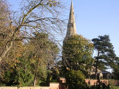
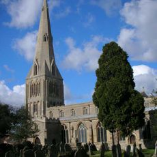
Church of St Peter Parish Church of St Peter
7.5 km
Thrapston Station Quarry
7.3 km
Titchmarsh Meadow
5.5 km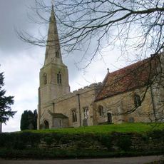
Parish Church of All Saints
1.3 km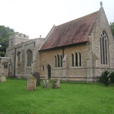
Parish Church of St Peter
38 m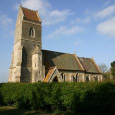
Church of St Peter
4.2 km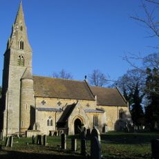
Church of All Saints And Chest Tomb Attached To North Aisle
6.2 km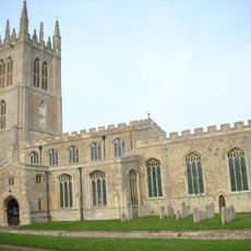
Church of St Mary the Virgin
6.3 km
All Saints Church
5.3 km
Parish Church of St Leonards
3.1 km
Parish Church of St Lawrence
1.3 km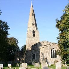
Parish Church of St Swithin
2.8 km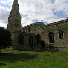
Parish Church of St John the Baptist
2.6 km
6, Church Street
6.2 km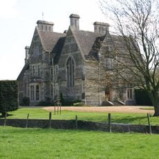
The Old Rectory
6.4 km
White Hart Public House
1.4 km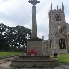
Titchmarsh War Memorial
6.2 km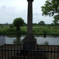
Denford War Memorial, Northamptonshire
7.7 km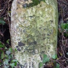
Milestone K4 on highway B660 at TL0855973579
2.7 km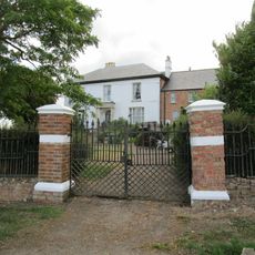
Bythorn House
1.4 km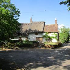
The Nags Head Public House
6.1 km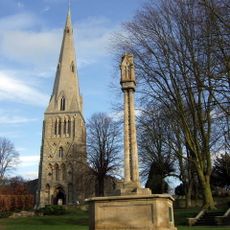
Raunds War Memorial
7.5 km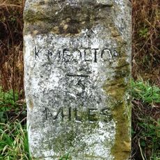
Milestone K3 on highway B660 at TL0869372088
4.1 km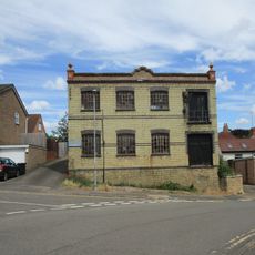
Wescam Engineering (Ernest Chambers Heel Factory)
7.5 km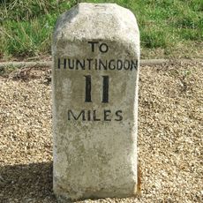
Milestone Circa 300 Metres To East Of Road Junction To Molesworth Village
955 m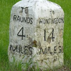
Milestone, Raunds Road, Keyston at jct with The Loop
2.6 km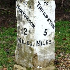
Milestone Circa 10 Metres To West Of The Cottage
848 m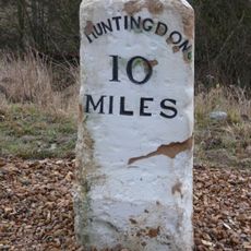
Milestone, on slip road, nr junction with B660
1.9 kmAvaliações
Visitou este local? Toque nas estrelas para avaliá-lo e partilhar a sua experiência ou fotos com a comunidade! Experimente agora! Você pode cancelar a qualquer momento.
Encontra tesouros escondidos em cada aventura!
De pequenos cafés cheios de charme a miradouros secretos, foge das multidões e descobre lugares que têm mesmo a tua cara. A nossa app torna tudo simples: pesquisa por voz, filtros espertos, rotas otimizadas e dicas genuínas de viajantes do mundo inteiro. Descarrega já para viveres a aventura no teu telemóvel!

Uma nova abordagem para descobrir o turismo❞
— Le Figaro
Todos os lugares que valem a pena explorar❞
— France Info
Um passeio sob medida em apenas alguns cliques❞
— 20 Minutes