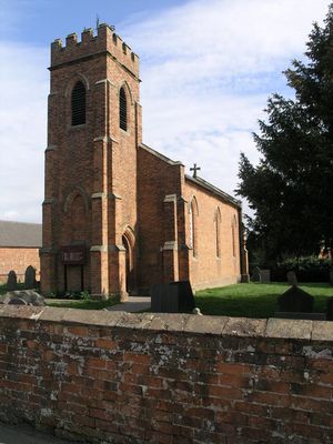
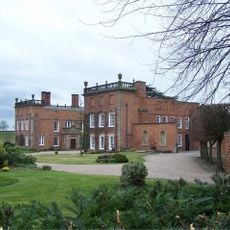
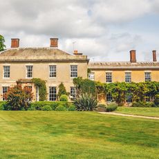
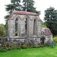
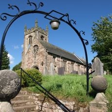
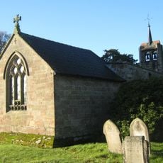
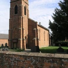
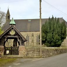
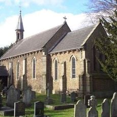
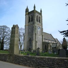
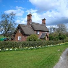
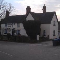
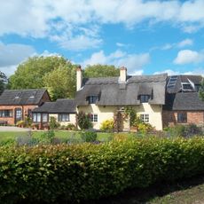
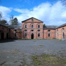
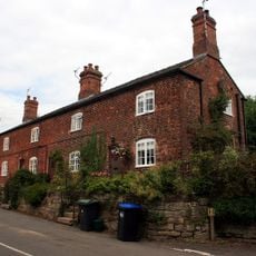
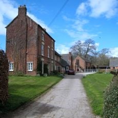
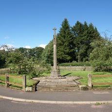
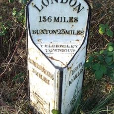
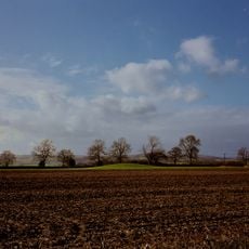
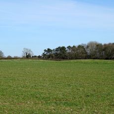
Yeaveley, village and civil parish in Derbyshire Dales district, Derbyshire, England
Localização: Derbyshire Dales
Faz fronteira com: Edlaston and Wyaston, Snelston, Cubley, Hungry Bentley, Rodsley
Coordenadas GPS: 52.96000,-1.72400
Última atualização: 20 de abril de 2025 às 12:16
Longford Hall
3.5 km
Yeldersley Hall, Derbyshire
4.4 km
Yeaveley Preceptory
1.5 km
Church of St Andrew
3.4 km
Church of St Michael
3.5 km
St John the Baptist's Church, Boylestone
4.5 km
St Chad's Church, Longford
3.5 km
Church of St Martin
3.9 km
Church of St Peter
4.3 km
Church of St James
2.4 km
Medieval settlement, including site of chapel and part of the open field system, immediately north east of Alkmonton Old Hall Fa
2.8 km
Holy Trinity Church
35 m
Church of the Holy Trinity
4.9 km
Church of St John
1.8 km
War Memorial South West of Church of St Martin
3.9 km
Saw Mill
3.3 km
Yew Tree Cottage
3.1 km
Park View Cottage
3.6 km
The Saracen's Head Public House
3.4 km
Thatched Cottage
3.4 km
Stable Block And Coach House At Longford Hall Farm
3.4 km
Terrace of three cottages opposite the Saracen's Head pub
3.5 km
Shirley Mill Farmhouse
2.7 km
Snelston War Memorial
4.6 km
Mile Post At Os 212435
4.1 km
Gates And Gatepiers To East Of Longford Hall
3.6 km
Tinker's Inn bowl barrow, south
4 km
Two bowl barrows at Osmaston Fields, north
4.4 kmAvaliações
Visitou este local? Toque nas estrelas para avaliá-lo e partilhar a sua experiência ou fotos com a comunidade! Experimente agora! Você pode cancelar a qualquer momento.
Encontra tesouros escondidos em cada aventura!
De pequenos cafés cheios de charme a miradouros secretos, foge das multidões e descobre lugares que têm mesmo a tua cara. A nossa app torna tudo simples: pesquisa por voz, filtros espertos, rotas otimizadas e dicas genuínas de viajantes do mundo inteiro. Descarrega já para viveres a aventura no teu telemóvel!
Uma nova abordagem para descobrir o turismo❞
— Le Figaro
Todos os lugares que valem a pena explorar❞
— France Info
Um passeio sob medida em apenas alguns cliques❞
— 20 Minutes