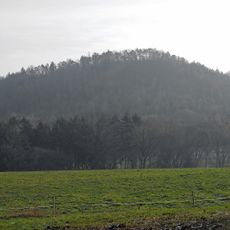
Wolfsberg, Cume montanhoso na Suíça Saxônica, Alemanha.
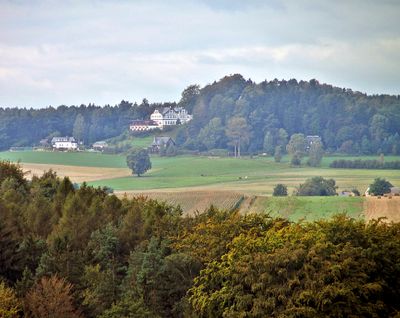
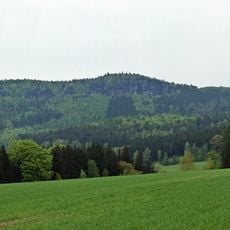
Wolfsberg e um pico de montanha no macico de arenito do Elba na Saxonia, elevando-se a 343 metros acima do nivel do mar. O terreno e caracterizado por formacoes distintas de arenito que moldam tanto a paisagem quanto a trilha de caminhada.
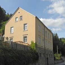
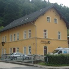
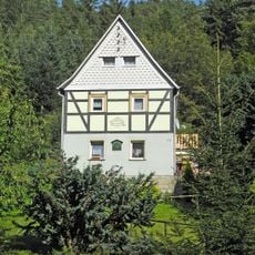
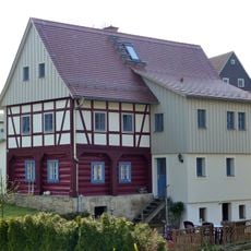
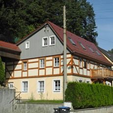
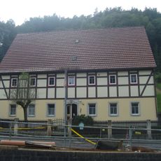
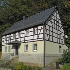
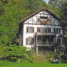
A area abriu-se aos visitantes no final do seculo 19 quando uma estalagem foi construida abaixo do pico. Este edificio se transformou posteriormente no hotel que existe la hoje e marcou o inicio do turismo na regiao.
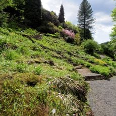
O local fica em caminhos que artistas e caminhantes usaram por gerações para experimentar e esboçar a paisagem de arenito. Hoje os visitantes podem seguir essas rotas artísticas e entender por que a região atraiu tantos pintores.
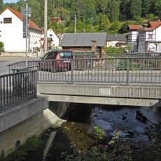
O melhor acesso e pela estacao ferroviaria de Schmilka no vale do Elba, onde as trilhas marcadas levam em direcao ao pico. A subida segue o terreno atraves da paisagem de arenito e requer equipamento de caminhada padrao e calcado apropriado.
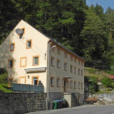
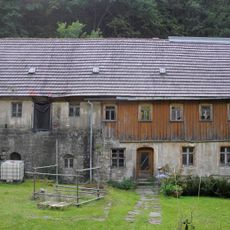
O pico fica em propriedade privada do hotel e nao e livremente acessivel como outros picos da regiao. Deste ponto de vista os visitantes podem ver o quao proximo fica de outros picos rochosos conhecidos como o Grosser Zschirnstein.
A comunidade de viajantes curiosos
AroundUs reúne milhares de lugares selecionados, dicas locais e joias escondidas, enriquecidos diariamente por mais de 60,000 colaboradores em todo o mundo.