
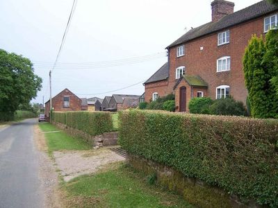
Weston House Farmhouse, farmhouse in Standon, Stafford, Staffordshire, UK
Localização: Standon
Coordenadas GPS: 52.92607,-2.28980
Última atualização: 28 de março de 2025 às 19:59
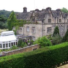
Maer Hall
2.3 km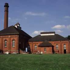
Mill Meece Pumping Station
3.6 km
Church of St Peter
2.2 km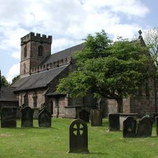
Church of All Saints
2.1 km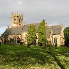
Church of St John the Baptist
4.3 km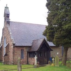
Church of St Paul
4.6 km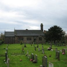
Church of St James
3.1 km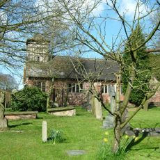
Church of St Mary and All Saints
4.5 km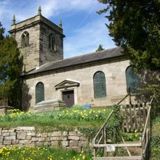
Church of St Lawrence
1.4 km
Hatton Water Pumping Station Boiler House And Chimney
2.4 km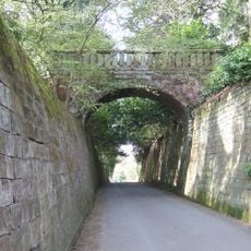
Park Bridge, Steps And Revetment Walls About 100 Metres North Of Maer Hall
2.3 km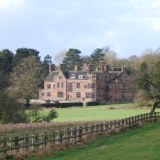
Standon Hall (Now Part Of Standon Hall Orthopaedic Hospital)
1.2 km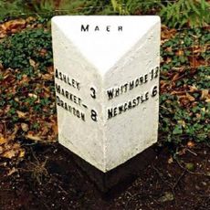
Milepost At Ngr Sj 7853 3968
3.8 km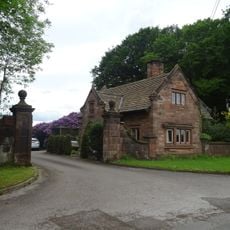
Lodge Of Standon Hall
1.3 km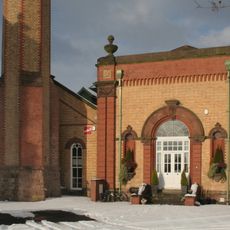
Hatton Water Pumping Station Secondary Pump House
2.4 km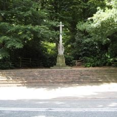
Maer War Memorial
2.8 km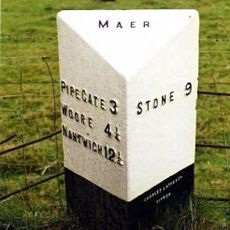
Milepost At Ngr Sj 7823 3884
3.3 km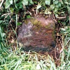
Milestone, NW of Vernon Yonge Arms, Croxtonbank
4.5 km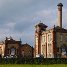
Hatton Water Pumping Station And Chimney
2.4 km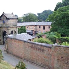
Gatehouse, flanking walls and bollards to Maer Hall
2.2 km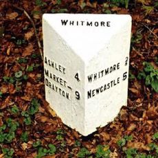
Milepost At Ngr Sj 7980 4054
4.1 km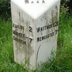
Milepost At Ngr Sj 7724 3878
4 km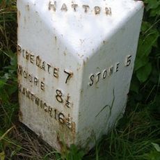
Milepost, Black Bank
2.6 km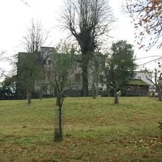
Charnes Hall
3.8 km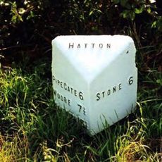
Milepost, The Rowe
2.1 km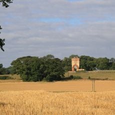
Water Tower Half A Mile To North Of Swynnerton Village
4.6 km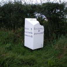
Milepost, N of Millmeece
3.8 km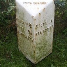
Milepost, near Cash's Pit, north of Swynnerton village
4.1 kmVisitou este local? Toque nas estrelas para avaliá-lo e partilhar a sua experiência ou fotos com a comunidade! Experimente agora! Você pode cancelar a qualquer momento.
Encontra tesouros escondidos em cada aventura!
De pequenos cafés cheios de charme a miradouros secretos, foge das multidões e descobre lugares que têm mesmo a tua cara. A nossa app torna tudo simples: pesquisa por voz, filtros espertos, rotas otimizadas e dicas genuínas de viajantes do mundo inteiro. Descarrega já para viveres a aventura no teu telemóvel!

Uma nova abordagem para descobrir o turismo❞
— Le Figaro
Todos os lugares que valem a pena explorar❞
— France Info
Um passeio sob medida em apenas alguns cliques❞
— 20 Minutes