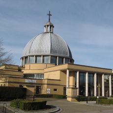
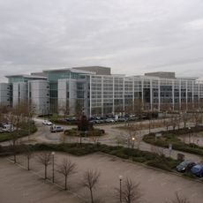
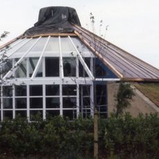
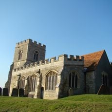
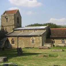
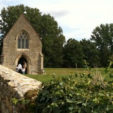
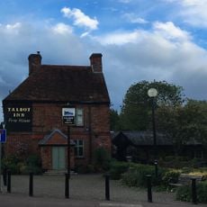
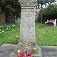
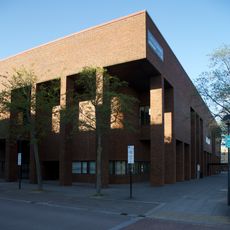
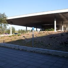
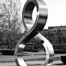
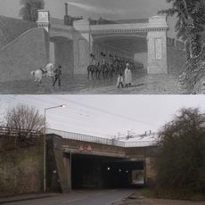
Loughton & Great Holm, civil parish in Milton Keynes, Buckinghamshire, England
Localização: City of Milton Keynes
Coordenadas GPS: 52.02689,-0.77709
Última atualização: 5 de março de 2025 às 23:28
National Bowl
1.5 km
Concrete Cows
3 km
The Point
2.2 km
Milton Keynes Theatre
2.7 km
Campbell Park
3.2 km
Church of Christ the Cornerstone
1.9 km
Quadrant:MK
1.2 km
Energy World
1 km
Oxley Woods
2.6 km
All Saints Church, Loughton
719 m
Church of the Servant King, Furzton
2.1 km
Igreja de Santa Maria (Shenley)
959 m
Oxley Mead
3.2 km
Church of the Holy Cross, Two Mile Ash
1.9 km
Church of St Lawrence
2.4 km
Chapel To North Of Bradwell Abbey House
2.7 km
Christ the Vine
2.2 km
The Talbot Inn
693 m
Shenley War Memorial
936 m
Milton Keynes Central Library
2.2 km
Former Bus Station, Station Square, Milton Keynes
957 m
Octo
2 km
Denbigh Hall Railway Bridge
3 km
Shopping Building
2.4 km
Milestone, Watling Street; on brow of hill in open area, Two Mile Ash
2.6 km
Milestone, Watling Street; 100m W of roundabout with Standing Way, W of Redmoor
2.3 km
Milestone, Watling Street; Shenley Lodge, at jct with Kelvin Drive, N of Chaffron Way roundabout
810 m
Milestone, Watling Street; at jct with Old Bell Lane, N of Shenley Church End
999 mVisitou este local? Toque nas estrelas para avaliá-lo e partilhar a sua experiência ou fotos com a comunidade! Experimente agora! Você pode cancelar a qualquer momento.
Encontra tesouros escondidos em cada aventura!
De pequenos cafés cheios de charme a miradouros secretos, foge das multidões e descobre lugares que têm mesmo a tua cara. A nossa app torna tudo simples: pesquisa por voz, filtros espertos, rotas otimizadas e dicas genuínas de viajantes do mundo inteiro. Descarrega já para viveres a aventura no teu telemóvel!
Uma nova abordagem para descobrir o turismo❞
— Le Figaro
Todos os lugares que valem a pena explorar❞
— France Info
Um passeio sob medida em apenas alguns cliques❞
— 20 Minutes