
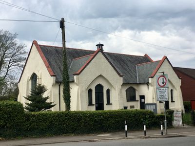
Creigiau Church Hall, Grade II listed building in Pentyrch. In the centre of the village, a little set back from the main thoroughfare in a grassy plot
Localização: Pentyrch
Elevação acima do mar: 69,8 m
Coordenadas GPS: 51.52447,-3.32483
Última atualização: 30 de abril de 2025 às 11:41
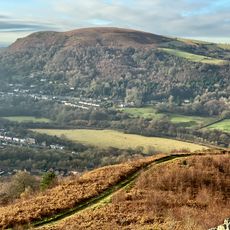
Garth Hill
2.9 km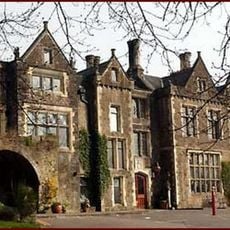
Miskin Manor
2.8 km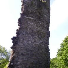
Llantrisant Castle
3.9 km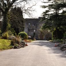
Craig-y-parc House
1.5 km
The Guildhall
4 km
St Catwg's Church
2.2 km
St David's Church
3.5 km
Statue of Dr William Price
4 km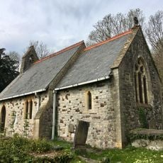
Church of St Elldeyrn at Capel Llanilltern
2 km
Caerau, Llantrisant
2.4 km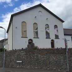
Horeb Presbyterian Church including attached hall to right
2 km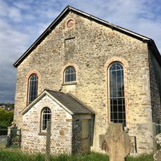
Former Penuel Chapel
1.9 km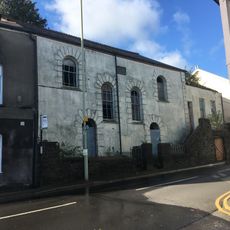
Penuel Presbyterian Church of Wales including forecourt walls and railings
3.9 km
Ebenezer Calvinistic Methodist Chapel
3.6 km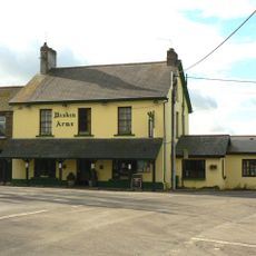
Miskin Arms
3.6 km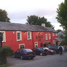
The King's Arms Public House
2.3 km
Llantrisant Library
3.8 km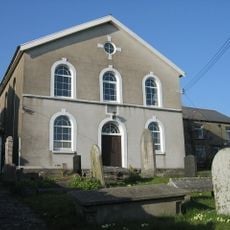
Babell Calvinistic Methodist Chapel
1.3 km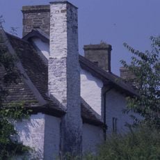
Castell-y-mynach
388 m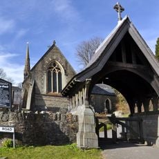
Lychgate at church of St Catwg
2.2 km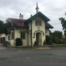
Hafod Lodge to Hensol Castle (Also Known as Bottom Lodge), Hensol
3.8 km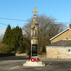
Miskin War Memorial
3.6 km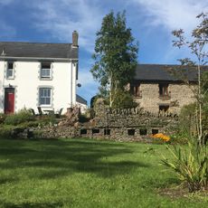
Wall with bee boles at Tondrugwaer
2.9 km
Boiler stack of former lead mine NW of Cefn-parc Farm
3.4 km
Cefn Mabley Farmhouse
3.9 km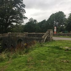
Bridge On Main Drive to Hensol Castle,Hensol
3.9 km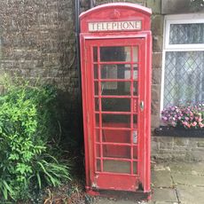
Telephone Call-box
3.6 km
Tabernacle Independent Chapel
3.2 kmVisitou este local? Toque nas estrelas para avaliá-lo e partilhar a sua experiência ou fotos com a comunidade! Experimente agora! Você pode cancelar a qualquer momento.
Encontra tesouros escondidos em cada aventura!
De pequenos cafés cheios de charme a miradouros secretos, foge das multidões e descobre lugares que têm mesmo a tua cara. A nossa app torna tudo simples: pesquisa por voz, filtros espertos, rotas otimizadas e dicas genuínas de viajantes do mundo inteiro. Descarrega já para viveres a aventura no teu telemóvel!

Uma nova abordagem para descobrir o turismo❞
— Le Figaro
Todos os lugares que valem a pena explorar❞
— France Info
Um passeio sob medida em apenas alguns cliques❞
— 20 Minutes