
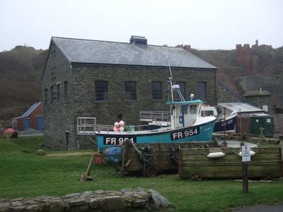
Ty Mawr, Porthgain, Grade II listed building in Llanrhian. Situated in the centre of the village, immediately behind the harbour
Localização: Llanrhian
Elevação acima do mar: 5,8 m
Coordenadas GPS: 51.94814,-5.18153
Última atualização: 4 de março de 2025 às 17:38
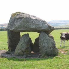
Carreg Samson
3.5 km
Abermawr
7 km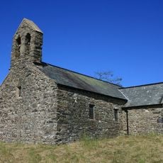
St Teilo's Church
7.2 km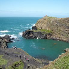
Arfordir Abereiddi
2.3 km
Castell Coch, Penmorfa
6.2 km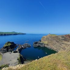
Blue Lagoon
2.2 km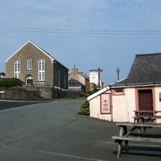
Elim Capel Bach
2.4 km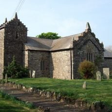
Church Of St Rhian
1.2 km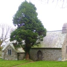
Church Of St.hywel, llanhowell
5.1 km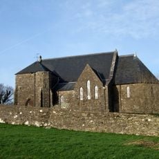
Churchyard wall at Church of the Holy Martyrs
6.5 km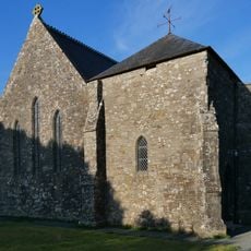
Church of The Holy Martyrs
6.5 km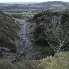
Tyrch quarry
752 m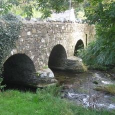
Middle Mill Bridge,Felinganol/Middle Mill
6.7 km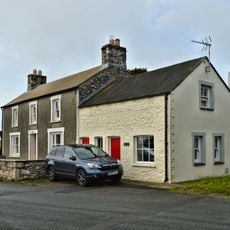
Y Post/The Old Post Office,Caerfarchell
5.9 km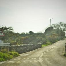
Pont Y Gwrhyd,Rhodiad Y Brenin
7 km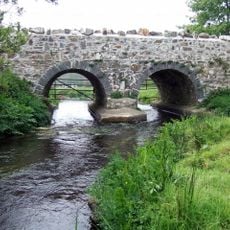
Caerforiog Bridge,Caerforiog
5.7 km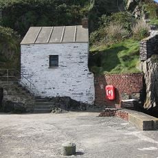
Pilot House,Porthgain
141 m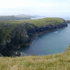
Porth-Egr
1.4 km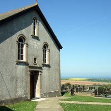
Rehoboth Congregational Chapel
4.4 km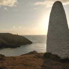
Navigation Beacon On Headland to E.of Entry to Porthgain Harbour
245 m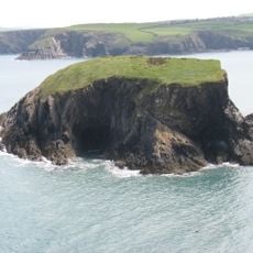
Ynys-fach
767 m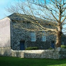
Caerfarchell Chapel
5.9 km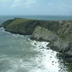
Castell Coch
2.9 km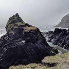
Abereiddy Tower,Abereiddy
2.4 km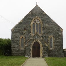
Beria Congregational Chapel
3.3 km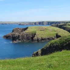
Ynys-y-Castell, Abercastle
3.9 km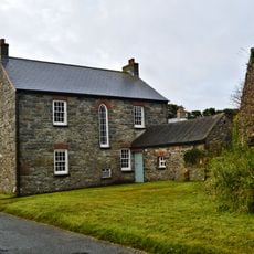
The Manse, including Pigsty attached at north end
5.8 km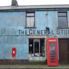
Telephone call-box at the General Stores
6.4 kmVisitou este local? Toque nas estrelas para avaliá-lo e partilhar a sua experiência ou fotos com a comunidade! Experimente agora! Você pode cancelar a qualquer momento.
Encontra tesouros escondidos em cada aventura!
De pequenos cafés cheios de charme a miradouros secretos, foge das multidões e descobre lugares que têm mesmo a tua cara. A nossa app torna tudo simples: pesquisa por voz, filtros espertos, rotas otimizadas e dicas genuínas de viajantes do mundo inteiro. Descarrega já para viveres a aventura no teu telemóvel!

Uma nova abordagem para descobrir o turismo❞
— Le Figaro
Todos os lugares que valem a pena explorar❞
— France Info
Um passeio sob medida em apenas alguns cliques❞
— 20 Minutes