
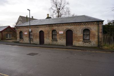
Former coal merchants ofice at former Bakewell Railway Station
Former coal merchants ofice at former Bakewell Railway Station, Grade II listed building in Bakewell, Derbyshire Dales, Derbyshire, UK
Localização: Bakewell
Coordenadas GPS: 53.21709,-1.66865
Última atualização: 17 de março de 2025 às 05:47
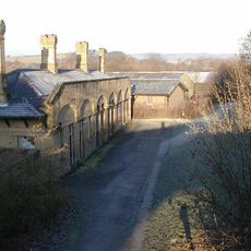
Bakewell railway station
55 m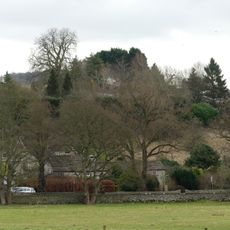
Bakewell Castle
194 m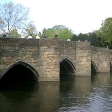
Bakewell Bridge
398 m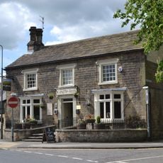
The Castle Inn
449 m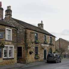
The Peacock
490 m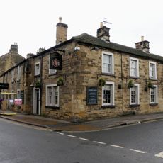
The Queens Arms Hotel
492 m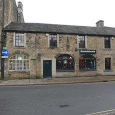
Premises occupied by John Brocklehurst at SK 2189 6959
476 m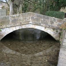
Milford Bridge
421 m
Entrance gateway and attached garden wall at The Brooklands
472 m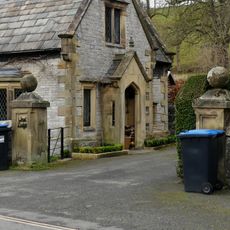
Entrance gate piers and attached walls at East and West Lodges to Holme Hall
495 m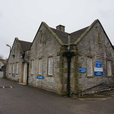
Northern part of The Busy Bee Day Nursery at Newholme Hospital
333 m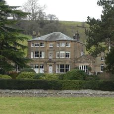
Burre House (excluding C20 garages at rear of eastern wing)
485 m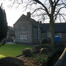
Community Transport Office at Newholme Hospital
344 m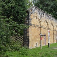
East platform wall at former Bakewell Railway Station
77 m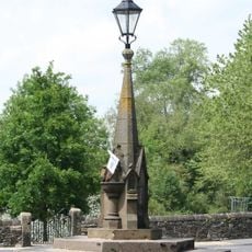
Drinking fountain at junction with Baslow Road and Coombs Road
347 m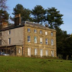
The Brooklands including service range and linking wall
506 m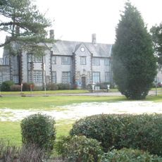
Newholme Hospital (Main Building)
310 m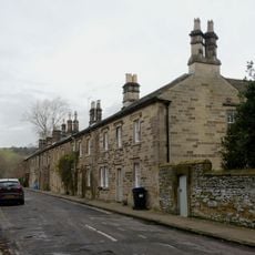
Wye Bank (Number 6)
420 m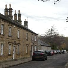
Riversdale
446 m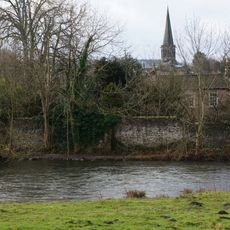
Perimeter wall to gardens at ends and rear of Numbers 1-6 (Consecutive)
397 m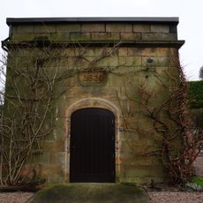
Small stone building in garden of Coombs Hay (Coombs Hay not included)
207 m
The West Lodge
508 m
Bridge House and Bridgeway
458 m
Nurses home at rear of Newholme Hospital
281 m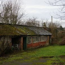
Kitchen garden walls with attached potting sheds at The Brooklands
462 m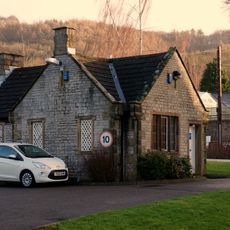
Newholme Hospital Porters Lodge
355 m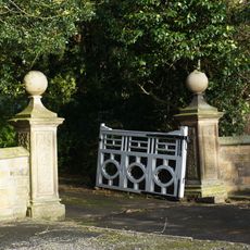
Main entrance gateway to Burre House with attached wing walls
374 m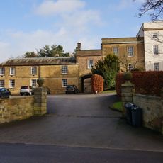
Castle Hill House and stable block with gates adjoining Castle Hill House
289 mAvaliações
Visitou este local? Toque nas estrelas para avaliá-lo e partilhar a sua experiência ou fotos com a comunidade! Experimente agora! Você pode cancelar a qualquer momento.
Encontra tesouros escondidos em cada aventura!
De pequenos cafés cheios de charme a miradouros secretos, foge das multidões e descobre lugares que têm mesmo a tua cara. A nossa app torna tudo simples: pesquisa por voz, filtros espertos, rotas otimizadas e dicas genuínas de viajantes do mundo inteiro. Descarrega já para viveres a aventura no teu telemóvel!

Uma nova abordagem para descobrir o turismo❞
— Le Figaro
Todos os lugares que valem a pena explorar❞
— France Info
Um passeio sob medida em apenas alguns cliques❞
— 20 Minutes