
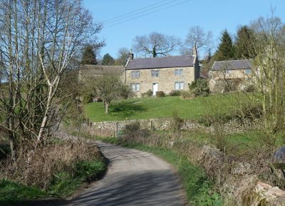
Dale Cottage Farmhouse, Grade II listed farmhouse in the parish of Ashover, North East Derbyshire, Derbyshire, UK
Localização: Ashover
Coordenadas GPS: 53.15051,-1.46326
Última atualização: 5 de junho de 2025 às 14:47
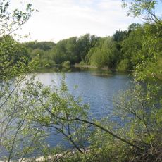
Ogston Reservoir
2.2 km
Ogston Hall
2.6 km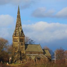
St Bartholomew’s Church, Clay Cross
3.6 km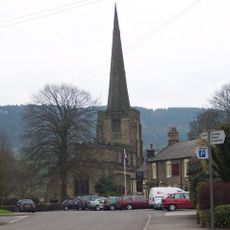
Church of All Saints
1.9 km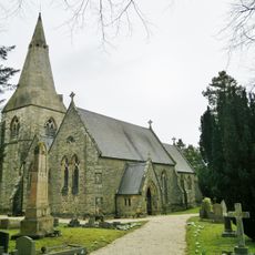
Holy Trinity Church
2.9 km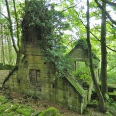
Ruins of Trinity Chapel
2.3 km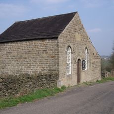
Ashover Hay Primitive Methodist Chapel
568 m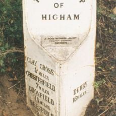
Mile Post 14 Metres North Of Quarry Farmhouse, Higham
3.7 km
The Miners Arms Public House
528 m
Overton Hall and attached outbuildings
1.5 km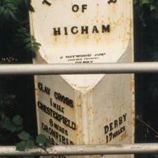
Mile Post Opposite Hilltop Farmhouse
3.3 km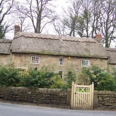
Stubben Edge Cottage
304 m
Toll Bar Cottage
637 m
Clattercotes Farmhouse
1.3 km
Holmgate House
2.5 km
K6 telephone kiosk north of West Bank
1.8 km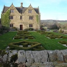
Raven House
862 m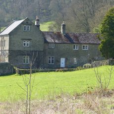
Ravensnest and attached farm buildings Ravensnest and The Beeches
1.3 km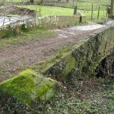
Footbridge
1.7 km
West Bank, attached wall and gate piers, and attached outbuilding to south
1.8 km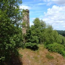
Chimney at Ravensnest
1.5 km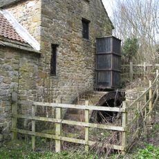
Fallgate Mill
878 m
Three Bridges At Smithymoor Nr Stretton Station
2.7 km
Pound to the south of the Miners Arms
520 m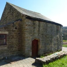
Outbuilding to the south of Clattercotes Farmhouse
1.3 km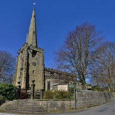
Gatepiers And Steps To The South Of Church Of All Saints
1.9 km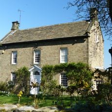
West View
568 m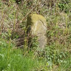
Milestone, Reservoir Farm
2.1 kmVisitou este local? Toque nas estrelas para avaliá-lo e partilhar a sua experiência ou fotos com a comunidade! Experimente agora! Você pode cancelar a qualquer momento.
Encontra tesouros escondidos em cada aventura!
De pequenos cafés cheios de charme a miradouros secretos, foge das multidões e descobre lugares que têm mesmo a tua cara. A nossa app torna tudo simples: pesquisa por voz, filtros espertos, rotas otimizadas e dicas genuínas de viajantes do mundo inteiro. Descarrega já para viveres a aventura no teu telemóvel!

Uma nova abordagem para descobrir o turismo❞
— Le Figaro
Todos os lugares que valem a pena explorar❞
— France Info
Um passeio sob medida em apenas alguns cliques❞
— 20 Minutes