
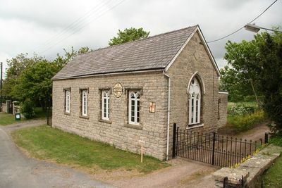
Village Hall, building in Northorpe, West Lindsey, Lincolnshire, UK
Localização: Northorpe
Coordenadas GPS: 53.46366,-0.65429
Última atualização: 4 de março de 2025 às 12:13
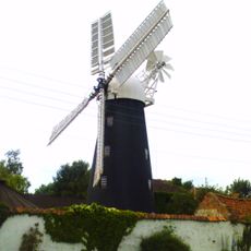
Mount Pleasant Mill
5 km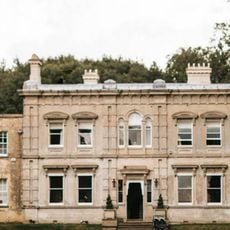
Cleatham Hall
5.9 km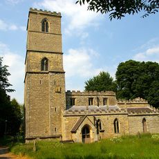
St Andrew's Church, Redbourne
8.4 km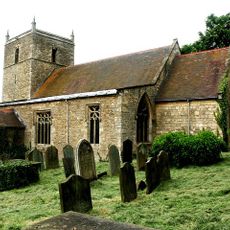
St Chad's Church, Harpswell
8.3 km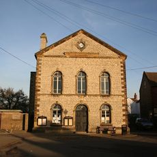
Town Hall
4.6 km
Church of St Lawrence and St George
7.6 km
Church of St Genwys
2 km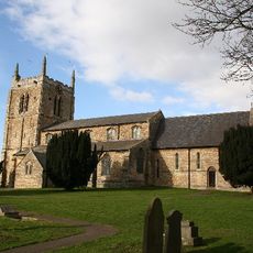
Church of St Andrew
4.2 km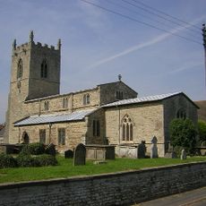
Church of St John the Baptist
32 m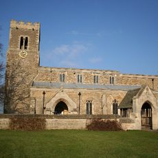
Church of St Lawrence
6 km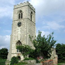
Church of St Peter
3.7 km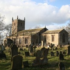
Church of the Holy Trinity
7.7 km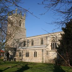
Church of All Saints
4.5 km
Church of St Hybald
6.8 km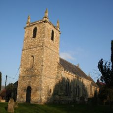
Church of All Saints
7.2 km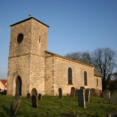
Church of St Andrew
5.4 km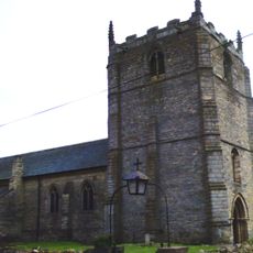
Church of St Radegund
4.2 km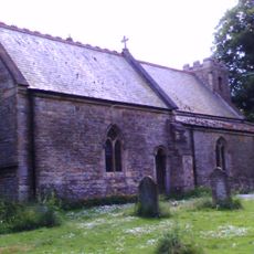
Church of Saint Alkmund
4.7 km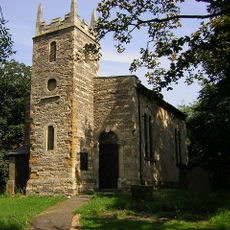
Church of All Saints
4.6 km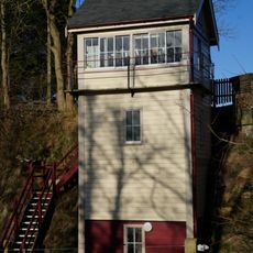
Kirton Lime Sidings Signal Box
7 km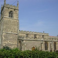
Church of Saint Martin
4.7 km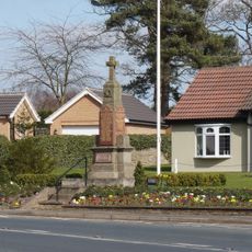
Messingham War Memorial
7.5 km
Sluice And Road Bridge At Outfall Of Snow Sewer/Warping Drain Into The River Trent
8.4 km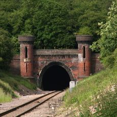
Kirton Railway Tunnel Entrance
5.2 km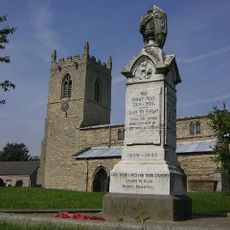
Northorpe War Memorial
55 m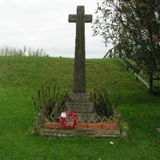
East Ferry War Memorial
8.2 km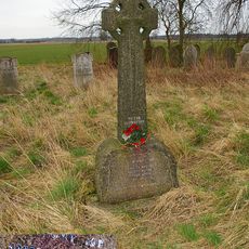
Wildsworth War Memorial
8.6 km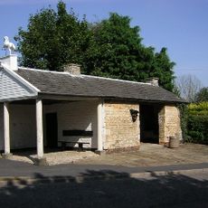
Old Smithy
8.4 kmVisitou este local? Toque nas estrelas para avaliá-lo e partilhar a sua experiência ou fotos com a comunidade! Experimente agora! Você pode cancelar a qualquer momento.
Encontra tesouros escondidos em cada aventura!
De pequenos cafés cheios de charme a miradouros secretos, foge das multidões e descobre lugares que têm mesmo a tua cara. A nossa app torna tudo simples: pesquisa por voz, filtros espertos, rotas otimizadas e dicas genuínas de viajantes do mundo inteiro. Descarrega já para viveres a aventura no teu telemóvel!

Uma nova abordagem para descobrir o turismo❞
— Le Figaro
Todos os lugares que valem a pena explorar❞
— France Info
Um passeio sob medida em apenas alguns cliques❞
— 20 Minutes