
Wrockwardine, village and civil parish in Shropshire, United Kingdom
Localização: Telford and Wrekin
Coordenadas GPS: 52.70300,-2.55600
Última atualização: 10 de março de 2025 às 04:18
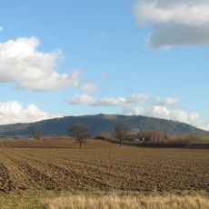
The Wrekin
3.8 km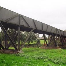
Longdon-Upon-Tern aqueduct
3.9 km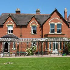
Sunnycroft
2.8 km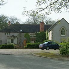
Apley Castle
3.5 km
High Ercall Hall
6.4 km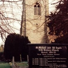
St Michael's Church, High Ercall
6.3 km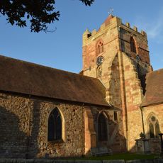
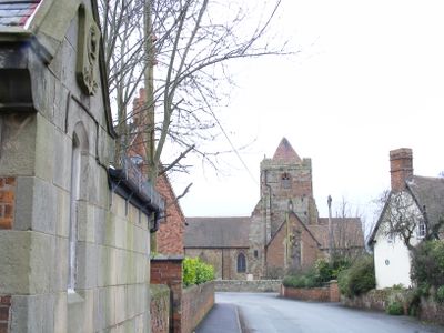
Church of St Peter
213 m
Church of All Saints
2.6 km
Church of St George
4.4 km
Church of St. Catherine
3.9 km
Church of the Holy Trinity
3.7 km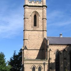
Christ Church
3.1 km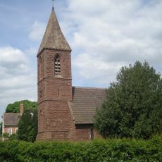
Church of St John the Baptist
5 km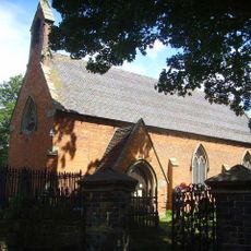
Church of St Bartholomew
3.6 km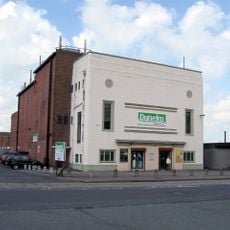
Clifton Cinema, Wellington
2.3 km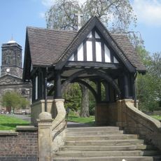
Gate Piers, Steps, Walls and War Memorial Lychgate
2.5 km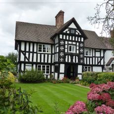
2, Uppington
3.6 km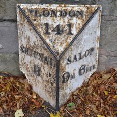
Milepost Approximately 700 Yards South South West Of Orleton Hall
1.4 km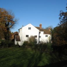
Ercall Mill Mill House
6 km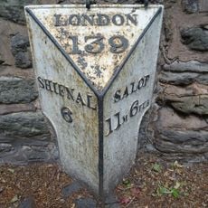
Milepost Approximately 300 Yards East South East Of Football Ground
4 km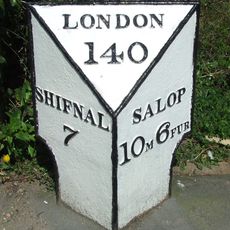
Mile Post South South East Of Wrekin Hospital
2.5 km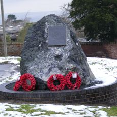
Wrockwardine War Memorial
321 m
Moated site, ridge and furrow cultivation remains and a building platform immediately north of Lower Grounds
5.1 km
Number 1 (tudor House) And Part Of Number 2
3.6 km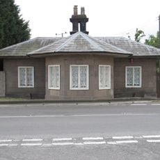
The Round House Umbrella House
1.4 km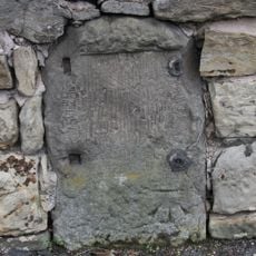
Milestone, Whitchurch Road, nr jcn Apley Avenue
2.6 km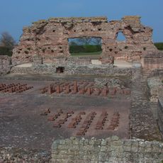
Site of Roman town of Wroxeter (Viroconium)
6.7 km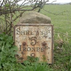
Milestone, 260m NW Wroxeter crossroads
6.8 kmVisitou este local? Toque nas estrelas para avaliá-lo e partilhar a sua experiência ou fotos com a comunidade! Experimente agora! Você pode cancelar a qualquer momento.
Encontra tesouros escondidos em cada aventura!
De pequenos cafés cheios de charme a miradouros secretos, foge das multidões e descobre lugares que têm mesmo a tua cara. A nossa app torna tudo simples: pesquisa por voz, filtros espertos, rotas otimizadas e dicas genuínas de viajantes do mundo inteiro. Descarrega já para viveres a aventura no teu telemóvel!

Uma nova abordagem para descobrir o turismo❞
— Le Figaro
Todos os lugares que valem a pena explorar❞
— France Info
Um passeio sob medida em apenas alguns cliques❞
— 20 Minutes