
Botusfleming, village and civil parish in Cornwall, England, UK
Localização: Cornwall
Elevação acima do mar: 50,2 m
Coordenadas GPS: 50.43000,-4.24800
Última atualização: 23 de março de 2025 às 02:41
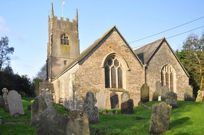
Church of St Stephen
3.2 km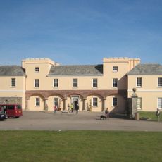
Pentillie
3.3 km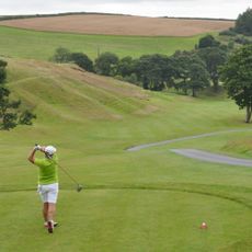
St. Mellion International Resort
5 km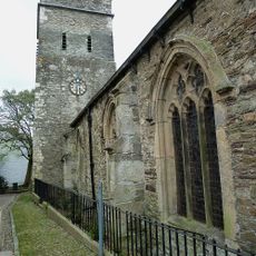
Parish Church of St Nicholas and St Faith
3.7 km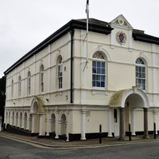
Saltash Guildhall
3.7 km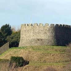
Trematon Castle
3.4 km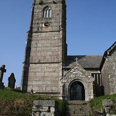
Church of St Mellanus
4.5 km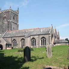
Church of St Leonard and St Dilp
2.7 km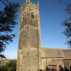
Church of St Michael
3.1 km
Church of St Odulphus
4.8 km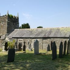
Church of St Terminus
4 km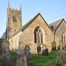
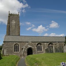
Church of St Mary
32 m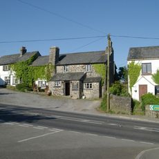
Coryton Arms Excluding Extension On Left Hand Gable End
4.5 km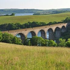
Forder Viaduct
3.8 km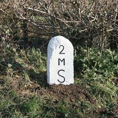
Milestone Near Withy Cross
1.6 km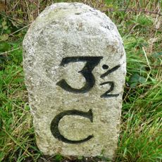
Milestone To East Of The Glebe
4.3 km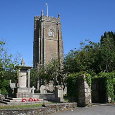
St Stephens by Saltash War Memorial
3.2 km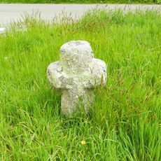
Trehan Cross, at Trehan village
3.2 km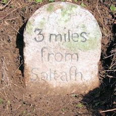
Milestone To East Of Notter Bridge
1.9 km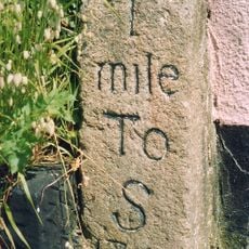
Milestone At Burraton Cross
2 km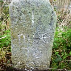
Milestone At Ngr Sx4211259431
2.5 km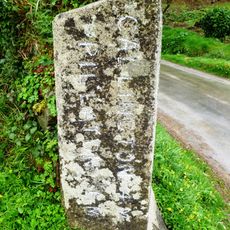
Milestone At Sx 366 633
4.3 km
Milestone To South East Of Carkeel
1.2 km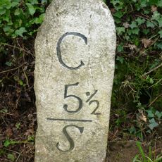
Milestone North Of Hatt (Ngr Sx3987662632)
1.4 km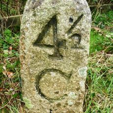
Milestone At Paynters Cross
2.9 km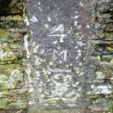
Milestone
3.3 km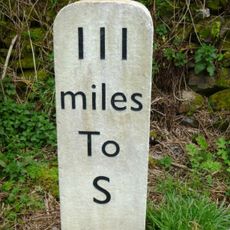
Milestone, Botus Fleming, Callington Road, NW of Carkeel, S of Hatt
717 m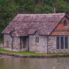
Bathing House At Pentillie Quay And Quay
3.4 kmVisitou este local? Toque nas estrelas para avaliá-lo e partilhar a sua experiência ou fotos com a comunidade! Experimente agora! Você pode cancelar a qualquer momento.
Encontra tesouros escondidos em cada aventura!
De pequenos cafés cheios de charme a miradouros secretos, foge das multidões e descobre lugares que têm mesmo a tua cara. A nossa app torna tudo simples: pesquisa por voz, filtros espertos, rotas otimizadas e dicas genuínas de viajantes do mundo inteiro. Descarrega já para viveres a aventura no teu telemóvel!

Uma nova abordagem para descobrir o turismo❞
— Le Figaro
Todos os lugares que valem a pena explorar❞
— France Info
Um passeio sob medida em apenas alguns cliques❞
— 20 Minutes