
33, High Street, building in Leintwardine, County of Herefordshire, UK
Localização: Leintwardine
Coordenadas GPS: 52.36383,-2.87686
Última atualização: 5 de março de 2025 às 22:55
Wigmore Abbey
3.3 km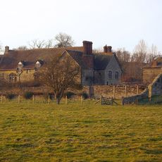
The Grange
3.1 km
Sun Inn
544 m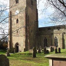
Church of St Mary Magdalene
249 m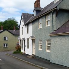
1 and 3, Church Street
297 m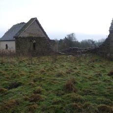
Church of St Giles, Downton on the Rock
2.6 km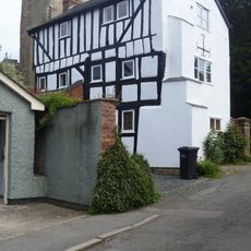
7, Church Street
292 m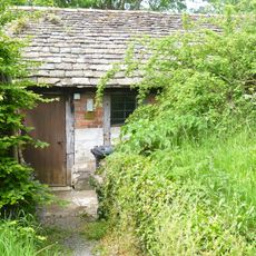
Outbuilding About 20 Yards South-West Of The Tower Of The Church Of St Mary Magdalene
273 m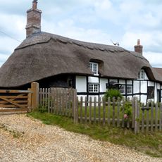
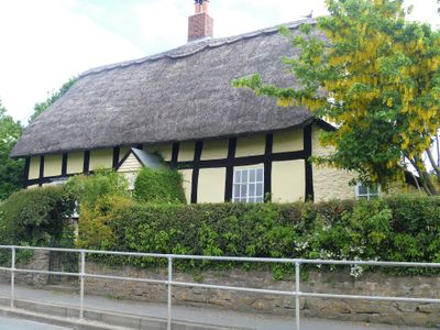
The Thatched Cottage
3.2 km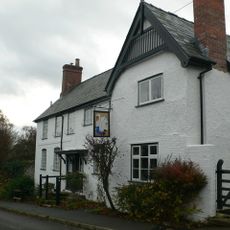
The Swan
358 m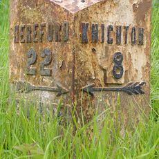
Milestone And Milepost At National Grid Reference So400714
3 km
The Mill
3.1 km
Paytoe Hall
2.9 km
The Old Hall
3.3 km
Brick House
3.3 km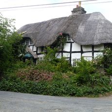
The Green
3.3 km
Outbuilding About 95 Yards West-north-west Of The Grange
3.1 km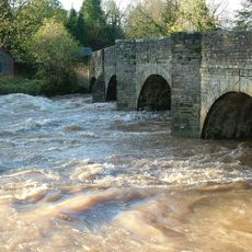
Leintwardine Bridge
513 m
Bank House
327 m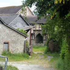
Gatehouse Attached To West End Of The Grange
3.1 km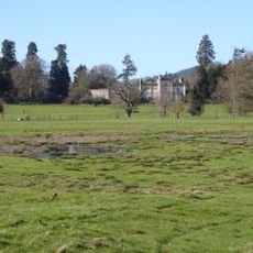
Broadward Hall
2.7 km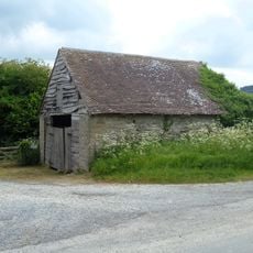
Storage Building About 100 Yards West-north-west Of The Grange
3.1 km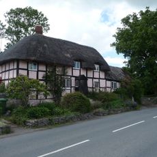
Plough Farmhouse
243 m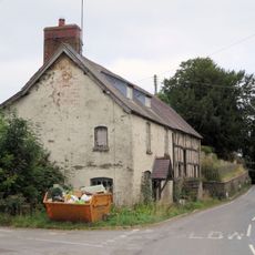
The Farm
3.3 km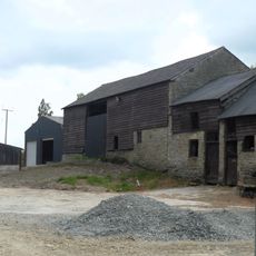
Barn And Stable About 15 Yards East Of Paytoe Hall
2.9 km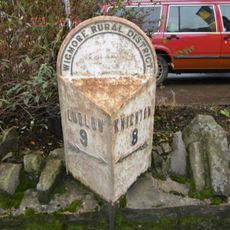
Milepost, High Street, Leintwardine
404 m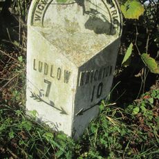
Milepost, Billings Wood
2.2 km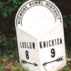
Milepost, Lower Todding
979 mAvaliações
Visitou este local? Toque nas estrelas para avaliá-lo e partilhar a sua experiência ou fotos com a comunidade! Experimente agora! Você pode cancelar a qualquer momento.
Encontra tesouros escondidos em cada aventura!
De pequenos cafés cheios de charme a miradouros secretos, foge das multidões e descobre lugares que têm mesmo a tua cara. A nossa app torna tudo simples: pesquisa por voz, filtros espertos, rotas otimizadas e dicas genuínas de viajantes do mundo inteiro. Descarrega já para viveres a aventura no teu telemóvel!

Uma nova abordagem para descobrir o turismo❞
— Le Figaro
Todos os lugares que valem a pena explorar❞
— France Info
Um passeio sob medida em apenas alguns cliques❞
— 20 Minutes