
Large Barn At Howbury Farm, barn in Bexley, Greater London, UK
Localização: London Borough of Bexley
Coordenadas GPS: 51.46867,0.19740
Última atualização: 13 de março de 2025 às 22:11
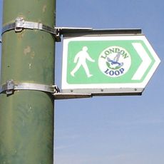
London Outer Orbital Path
2.1 km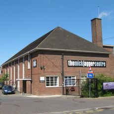
The Mick Jagger Centre
2.7 km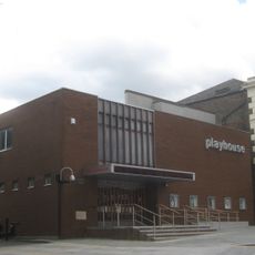
Erith Playhouse
1.8 km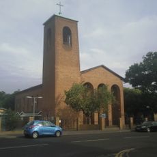
Our Lady of the Angels Church, Erith
2.6 km
One Bell
2.3 km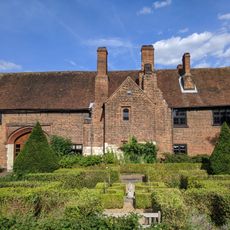
Priory Farmhouse containing the remains of Dartford Priory Gatehouse
2.6 km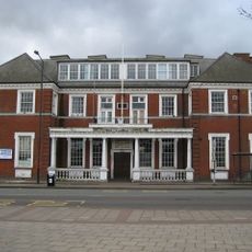
Crayford Town Hall
2.4 km
Church of St Paulinus, Crayford
2.2 km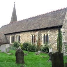
Parish Church of St John the Baptist
2.8 km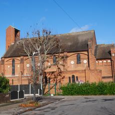
Christ Church
2.6 km
Christ Church
1.9 km
Former West Hill Police Station
2.7 km
Erith Old Library
2 km
St Paul's
2.7 km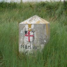
Coal Duty Boundary Marker (On Foreshore, At Mouth Of River Darenth, West Bank)
1.9 km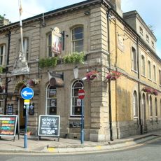
Kent House The County Court
2.9 km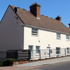
28 And 30, Erith High Street
1.8 km
Crayford War Memorial
2.1 km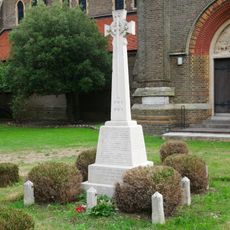
Erith (Christ Church) War Memorial
1.9 km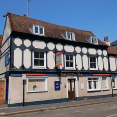
The Royal Oak Public House
2.8 km
The Long Shed (Part Of David Evans Limited Factory At Number 71)
2.5 km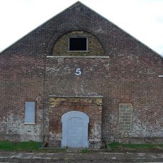
Government Powder Magazine
2.8 km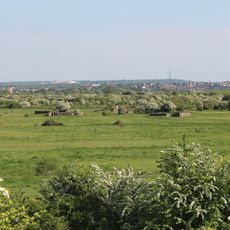
World War II Heavy Anti-Aircraft (Haa) Battery
736 m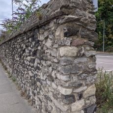
Remains Of Priory Walls In Victoria Road, Kingsfield Terrace And Priory Lane, Including The Doorway In Kingsfield Terrace
2.4 km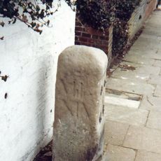
Milestone Opposite Nos 179 And 179A
2.3 km
Crayford Manor House
2.1 km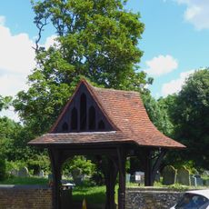
Lychgate to West of Parish Church of St Paulinus
2.2 km
The Oakwood
2.4 kmAvaliações
Visitou este local? Toque nas estrelas para avaliá-lo e partilhar a sua experiência ou fotos com a comunidade! Experimente agora! Você pode cancelar a qualquer momento.
Encontra tesouros escondidos em cada aventura!
De pequenos cafés cheios de charme a miradouros secretos, foge das multidões e descobre lugares que têm mesmo a tua cara. A nossa app torna tudo simples: pesquisa por voz, filtros espertos, rotas otimizadas e dicas genuínas de viajantes do mundo inteiro. Descarrega já para viveres a aventura no teu telemóvel!

Uma nova abordagem para descobrir o turismo❞
— Le Figaro
Todos os lugares que valem a pena explorar❞
— France Info
Um passeio sob medida em apenas alguns cliques❞
— 20 Minutes