
East Huntspill, human settlement in the United Kingdom
Localização: Sedgemoor
Coordenadas GPS: 51.19900,-2.94100
Última atualização: 1 de maio de 2025 às 16:12
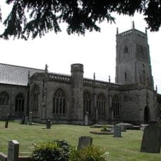
Church of St Mark, Mark
4.8 km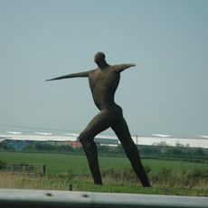
Willow Man
6.1 km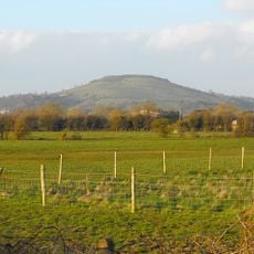
Brent Knoll
6.1 km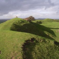
Brent Knoll Camp
6.1 km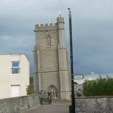
St Andrew's Church
5.9 km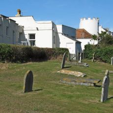
Burnham-on-Sea Round Tower
6.1 km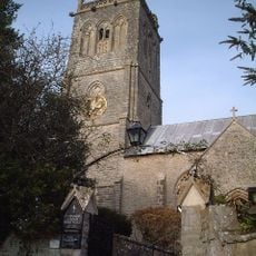
Church of St Michael, Brent Knoll
6 km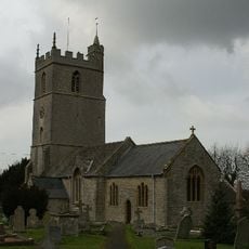
Church of St Mary, Woolavington
3.2 km
Church of St Michael and All Angels, Puriton
3.9 km
Church of St John the Baptist, Pawlett
4.8 km
Catcott, Edington and Chilton Moors
5.4 km
St Peter and All Hallows Church, West Huntspill
3.9 km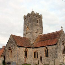
Church of St Michael and All Angels
5.3 km
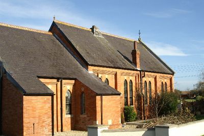
Church of All Saints
288 m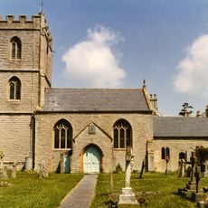
Church of St Mary
4.8 km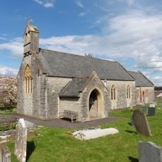
Church of St Edward
5.7 km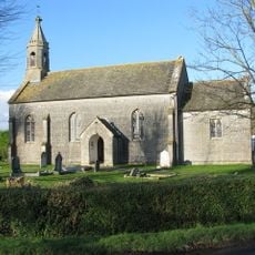
Church of St Philip and St James
5.4 km
Rich's Cider Farm
2.2 km
Down End Castle
4.9 km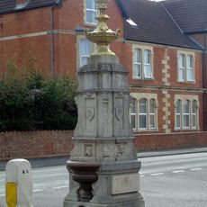
Drinking Fountain At The Junction Of Sea View And Berrow Road
6.1 km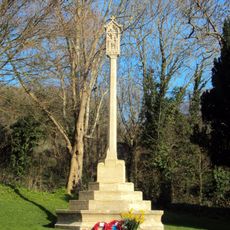
Brent Knoll War Memorial
5.9 km
Upper Southwick Farmhouse
2.4 km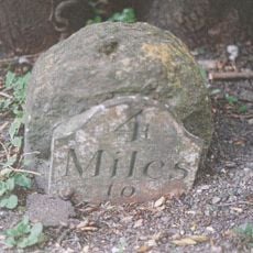
Milestone On Roadside At Ngr St 3532 3985
5.1 km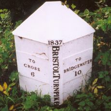
Milepost At Ngr St 3495 5100
6.2 km
Gateway To Puriton Manor
4 km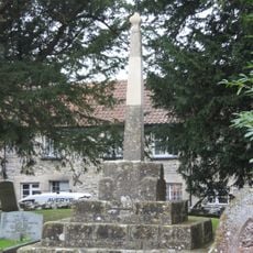
Former Market Cross in churchyard, Church of St Mark
4.8 km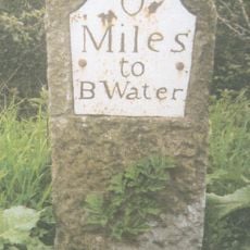
Milepost On Roadside At Ngr St 3122 4597
3.3 km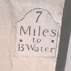
Milepost, Church Street, Highbridge, by No. 10
3.4 kmVisitou este local? Toque nas estrelas para avaliá-lo e partilhar a sua experiência ou fotos com a comunidade! Experimente agora! Você pode cancelar a qualquer momento.
Encontra tesouros escondidos em cada aventura!
De pequenos cafés cheios de charme a miradouros secretos, foge das multidões e descobre lugares que têm mesmo a tua cara. A nossa app torna tudo simples: pesquisa por voz, filtros espertos, rotas otimizadas e dicas genuínas de viajantes do mundo inteiro. Descarrega já para viveres a aventura no teu telemóvel!

Uma nova abordagem para descobrir o turismo❞
— Le Figaro
Todos os lugares que valem a pena explorar❞
— France Info
Um passeio sob medida em apenas alguns cliques❞
— 20 Minutes