
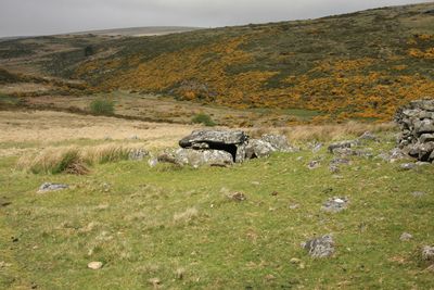
Roundy Park prehistoric enclosure and cairn with cist, 560m north east of Archerton
Roundy Park prehistoric enclosure and cairn with cist, 560m north east of Archerton, archaeological site in Dartmoor Forest, West Devon, England, UK
Localização: Dartmoor Forest
Coordenadas GPS: 50.60060,-3.92359
Última atualização: 4 de março de 2025 às 11:14
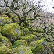
Wistman's Wood
3.7 km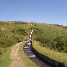
Devonport Leat
3.5 km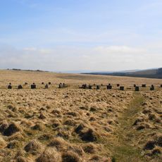
Grey Wethers
3.5 km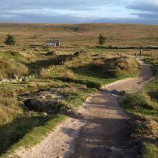
Dartmoor National Park
3.2 km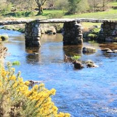
Postbridge Clapper Bridge
1.1 km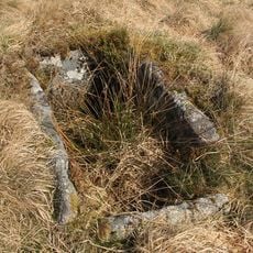
Bellever Tor Cairns
3.3 km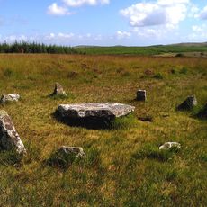
Ring cairn with cist on Lakehead Hill
2.2 km
Church of St Gabriel
1.3 km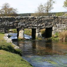
Clapper Bridge Across Walla Brook On Road From Cator To Bellever
3.6 km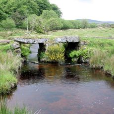
Powder Mills Clapper Bridge
2.7 km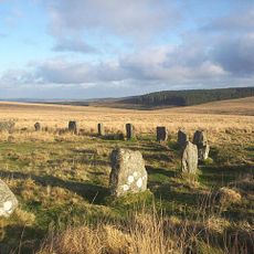
Two stone circles known as The Grey Wethers, three round cairns, two ring cairns and an oval enclosure in Great Stannon Newtake
3.4 km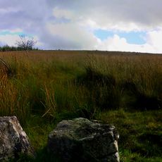
Kraps Ring
1.6 km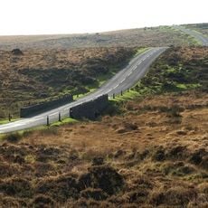
Statts Bridge
2.9 km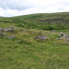
Coaxial fields and prehistoric settlements 180m north and 350m north west of Hartland Tor
572 m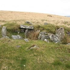
Cairn and cist 875m north west of Arch Tor
1.5 km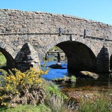
Post Bridge
1.1 km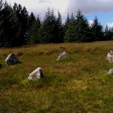
Five cairns, two stone alignments and three cists, forming part of a ritual complex on Lakehead Hill
2 km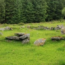
Stone alignment, hut circle settlement, medieval long house and post-medieval farmstead at Assycombe
3.6 km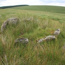
Kerbed cairn and cist 635m south west of The Grey Wethers
3.1 km
Broadun prehistoric enclosed settlement, 780m NNW of Archerton
509 m
Powder Mills
2.6 km
A ring cairn 700m south east of Runnage Bridge, on the southern side of Soussons Down
3.7 km
Tinners' building in Great Stannon Newtake, 810m north west of Stannon Tor
1.8 km
Milestone, half mile SW of Postbridge, opp. Plantations
1.5 km
Milestone, Higher Cherrybrook Bridge, 200m SW of bridge, 300m from turn to Pottery
2.9 km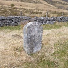
Guidestone, by Lakehead Hill plantation, NE of Cherrybrook Bridge
1.6 km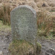
Milestone, Statts Bridge, 300m SW of bridge
2.6 km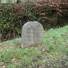
Milestone, St Gabriel's Church, 80m NE of church, opp. Beechwood
1.4 kmAvaliações
Visitou este local? Toque nas estrelas para avaliá-lo e partilhar a sua experiência ou fotos com a comunidade! Experimente agora! Você pode cancelar a qualquer momento.
Encontra tesouros escondidos em cada aventura!
De pequenos cafés cheios de charme a miradouros secretos, foge das multidões e descobre lugares que têm mesmo a tua cara. A nossa app torna tudo simples: pesquisa por voz, filtros espertos, rotas otimizadas e dicas genuínas de viajantes do mundo inteiro. Descarrega já para viveres a aventura no teu telemóvel!

Uma nova abordagem para descobrir o turismo❞
— Le Figaro
Todos os lugares que valem a pena explorar❞
— France Info
Um passeio sob medida em apenas alguns cliques❞
— 20 Minutes