
Parish's House, building in Timsbury, Bath and North East Somerset, England, UK
Localização: Timsbury
Coordenadas GPS: 51.32660,-2.47014
Última atualização: 25 de março de 2025 às 20:01
Radstock Museum
4 km
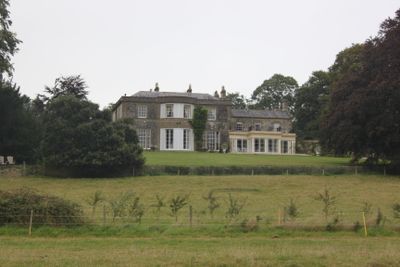
Camerton Court
1.8 km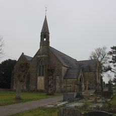
St John's Church, Peasedown St John
2.8 km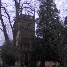
Church of the Holy Trinity, Paulton
3.2 km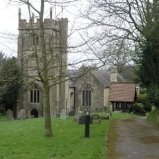
Church of St Peter, Camerton Park
1.9 km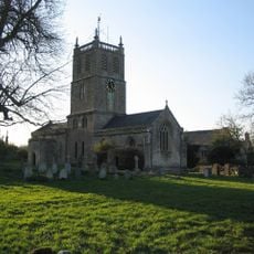
Church of St Luke and St Andrew, Priston
2.9 km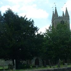
Church of St Peter, Marksbury
3.7 km
Highbury Hill
3.9 km
Bowlditch Quarry
3 km
Church of All Saints, Dunkerton
3.8 km
Church of All Saints, Farmborough
2.2 km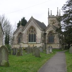
Church of St Mary the Virgin
621 m
Priston Mill And Attached Pond, Dam And Walls
3.5 km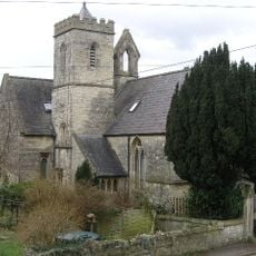
Holy Trinity Church, Clandown
2.8 km
Red Post Inn
3 km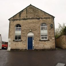
Welton Baptist Chapel
3.8 km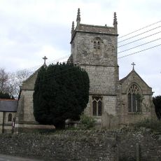
Church of Holy Trinity
2.9 km
Withyditch Baptist Chapel
3 km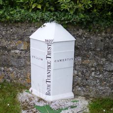
Boundary Marker About 10 Metres South West Of Red Post Inn
3 km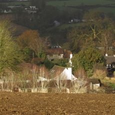
Thatched Cottage
1.6 km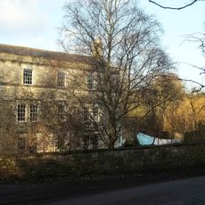
Radford House Farmhouse
1.2 km
Pitfour House
529 m
Tunley Farmhouse
1.3 km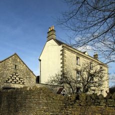
Conygre House
2.5 km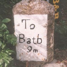
Milestone, Bath Road, Farmborough village, jct with Hunstrete Road
2.5 km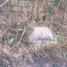
Milestone, Bath New Road; out of Radstock
3.3 km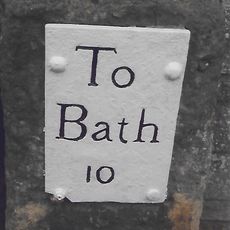
Milestone, High Street, just S of Eastover Road jct
2.8 km
Milestone, Peasedown Flat, nr entrance to Woodborough House
2.8 kmVisitou este local? Toque nas estrelas para avaliá-lo e partilhar a sua experiência ou fotos com a comunidade! Experimente agora! Você pode cancelar a qualquer momento.
Encontra tesouros escondidos em cada aventura!
De pequenos cafés cheios de charme a miradouros secretos, foge das multidões e descobre lugares que têm mesmo a tua cara. A nossa app torna tudo simples: pesquisa por voz, filtros espertos, rotas otimizadas e dicas genuínas de viajantes do mundo inteiro. Descarrega já para viveres a aventura no teu telemóvel!

Uma nova abordagem para descobrir o turismo❞
— Le Figaro
Todos os lugares que valem a pena explorar❞
— France Info
Um passeio sob medida em apenas alguns cliques❞
— 20 Minutes