
South Scarle, village and civil parish in Nottinghamshire, England
Localização: Newark and Sherwood
Coordenadas GPS: 53.16631,-0.73319
Última atualização: 3 de março de 2025 às 00:33
Cromwell Lock
4.8 km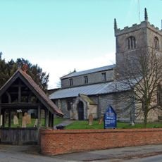
All Saints' Church, Collingham
2.7 km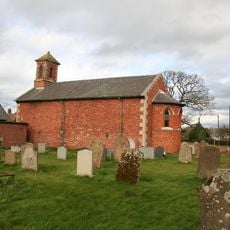
Holy Trinity Church, Besthorpe
2.3 km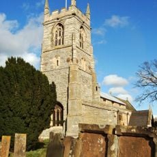
St John the Baptist's Church, Collingham
3.5 km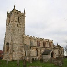
St Wilfrid's Church, Low Marnham
6.8 km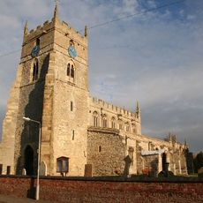
All Saints' Church, Sutton-on-Trent
5.1 km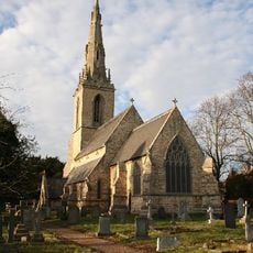
St Mary's Church, Carlton-on-Trent
4.9 km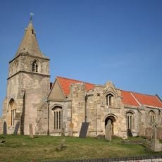
St Giles' Church, Holme
6.6 km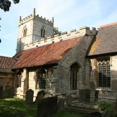
St Bartholomew's Church, Langford
5.6 km
St Cecilia's Church, Girton
3.2 km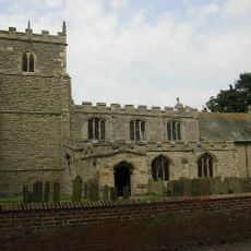
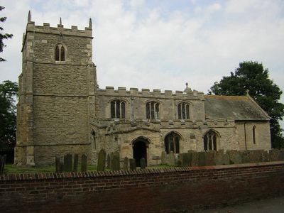
St Helena's Church, South Scarle
582 m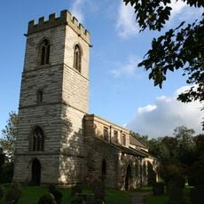
St. Giles' Church, Cromwell
5.4 km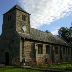
Church of St Michael and All Angels
6.2 km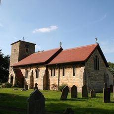
Church of All Saints
4.3 km
Church of All Saints
2.8 km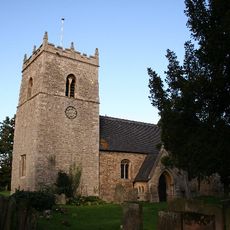
Church of All Saints
2.3 km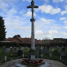
North Collingham War Memorial
2.7 km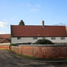
The Nunnery
3.5 km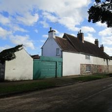
The Little House And Number 20
3.1 km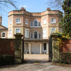
Carlton Hall
4.9 km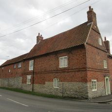
Corner Farmhouse
164 m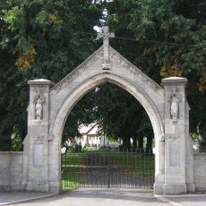
War Memorial Arch
4.3 km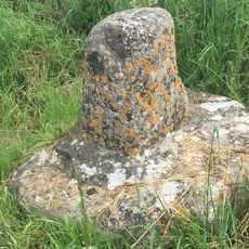
Standing cross 140m north of The Old Hall
6.7 km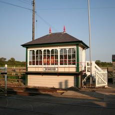
Swinderby Signal Box
2.1 km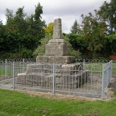
Standing cross on the west side of High Street
2.3 km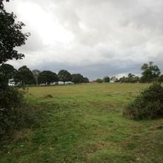
Langford medieval village, including moat and open field system, 450m north west of Elmtree Farm
5.9 km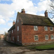
Lime Tree House
3.2 km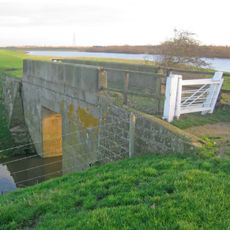
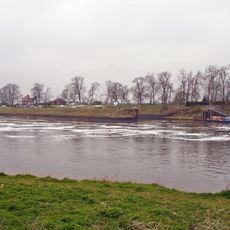
Trent Navigation, Footbridge Over Drain On West Bank Of River Trent At Sk 8150 6731
4.7 kmVisitou este local? Toque nas estrelas para avaliá-lo e partilhar a sua experiência ou fotos com a comunidade! Experimente agora! Você pode cancelar a qualquer momento.
Encontra tesouros escondidos em cada aventura!
De pequenos cafés cheios de charme a miradouros secretos, foge das multidões e descobre lugares que têm mesmo a tua cara. A nossa app torna tudo simples: pesquisa por voz, filtros espertos, rotas otimizadas e dicas genuínas de viajantes do mundo inteiro. Descarrega já para viveres a aventura no teu telemóvel!

Uma nova abordagem para descobrir o turismo❞
— Le Figaro
Todos os lugares que valem a pena explorar❞
— France Info
Um passeio sob medida em apenas alguns cliques❞
— 20 Minutes