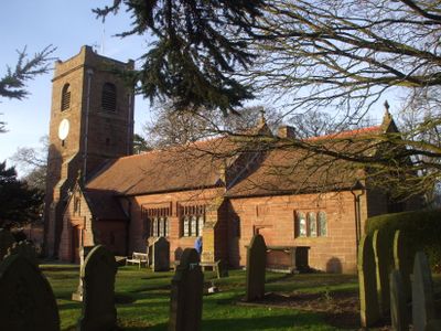
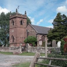
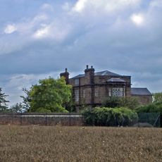
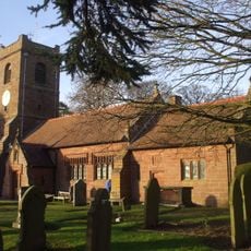
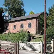
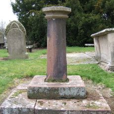
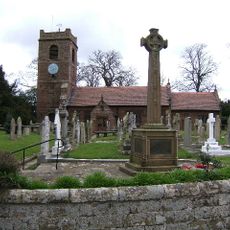
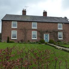
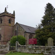
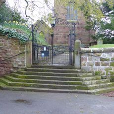
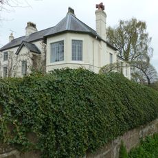
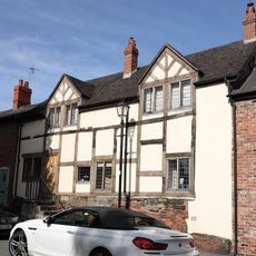
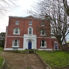
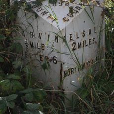
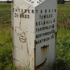
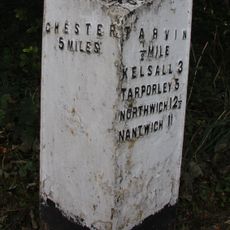
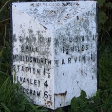
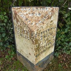
Barrow, civil parish in Cheshire, UK
Localização: Cheshire West and Chester
Faz fronteira com: Dunham-on-the-Hill and Hapsford, Tarvin, Ashton Hayes and Horton-cum-Peel, Manley, Mouldsworth, Christleton, Guilden Sutton, Mickle Trafford and District
Coordenadas GPS: 53.21944,-2.78667
Última atualização: 5 de março de 2025 às 15:57
St Peter's Church
2 km
Peel Hall
2.3 km
St Bartholomew's Church, Barrow
1.3 km
St John the Baptist's Church, Guilden Sutton
3 km
Trafford Mill
2.8 km
St. Plegmund's well
2.2 km
Vault, tombchest and memorial of the Hurleston family attached to east end of Church of St Peter
2 km
Sundial in the churchyard of St Peter
1.9 km
Number 86 and attached outbuilding
2.8 km
The White House
1.1 km
Town Farm Farmhouse
3 km
Laurel House
2.8 km
Roade House
2.8 km
Sundial in St. Bartholomew's Churchyard
1.3 km
Great Barrow War Memorial
1.3 km
Little Barrow Hall
909 m
76, High Street
2.8 km
West wall and gate of the churchyard of St Peter
2 km
Gates, overthrow and gate piers to the Churchyard of St Bartholomew
1.3 km
The Old Rectory
1.2 km
78 and 80, High Street
2.9 km
51, High Street
2.8 km
Tarvin Hall
2.8 km
Milepost, Tarvin Sands
2.7 km
Milepost, S of Stamford Bridge
2.3 km
Milepost, E of on roundabout jct of A54 & A51
2.8 km
Milepost, S of Ashton Village
2.8 km
Milepost, Trafford Mill
2.9 kmVisitou este local? Toque nas estrelas para avaliá-lo e partilhar a sua experiência ou fotos com a comunidade! Experimente agora! Você pode cancelar a qualquer momento.
Encontra tesouros escondidos em cada aventura!
De pequenos cafés cheios de charme a miradouros secretos, foge das multidões e descobre lugares que têm mesmo a tua cara. A nossa app torna tudo simples: pesquisa por voz, filtros espertos, rotas otimizadas e dicas genuínas de viajantes do mundo inteiro. Descarrega já para viveres a aventura no teu telemóvel!
Uma nova abordagem para descobrir o turismo❞
— Le Figaro
Todos os lugares que valem a pena explorar❞
— France Info
Um passeio sob medida em apenas alguns cliques❞
— 20 Minutes