
Mollington, village and civil parish in Cherwell district, Oxfordshire, England
Localização: Cherwell District
Coordenadas GPS: 52.12313,-1.35642
Última atualização: 2 de março de 2025 às 20:23
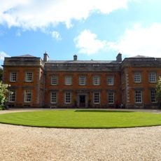
Farnborough Hall
2 km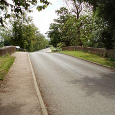
Cropredy Bridge
3 km
St John the Baptist's Church, Avon Dassett
4.1 km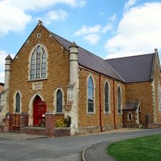
Cropredy Methodist Church
2.7 km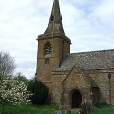
Church of St Botolph, Farnborough, Warks
2.3 km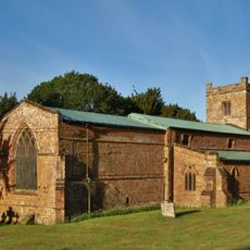
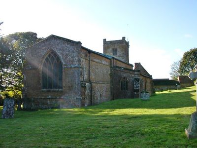
Church of All Saints
118 m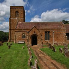
Church of St Michael
3.2 km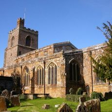
Church of St Mary the Virgin
2.8 km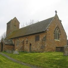
Church of St James the Great
3.1 km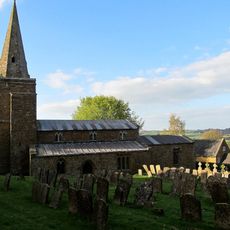
Church of St Lawrence
2.4 km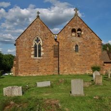
Church of All Saints
2.4 km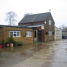
Bygones Museum
3 km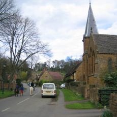
Roman Catholic Church of St Joseph and Attached Presbytery
4.1 km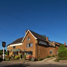
The Brasenose Arms
2.7 km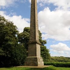
Farnborough Hall The Obelisk
1.7 km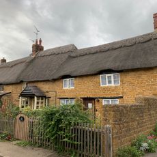
Beam Cottage Dingles And Cottage Abutting On Right
2.8 km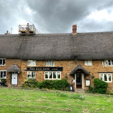
Red Lion Public House
2.9 km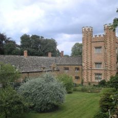
Hanwell Castle
3.8 km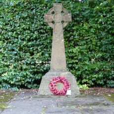
Avon Dasset War Memorial
4.1 km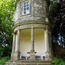
Farnborough Hall The Oval Pavilion
1.8 km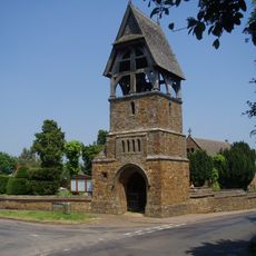
Lychgate at Church of All Saints
2.4 km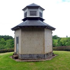
The Game Larder
2.1 km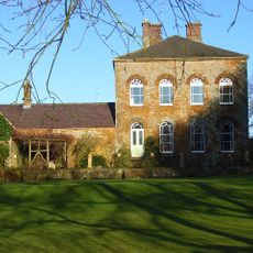
Prescote Manor
3.2 km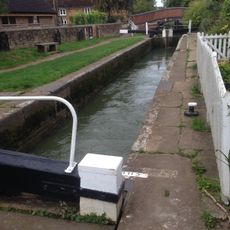
Cropredy Lock Oxford Canal
2.9 km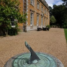
Farnborough Hall Sundial Approximately 4 Metres West
2.3 km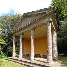
The Ionic Temple
2 km
Constone
2.7 km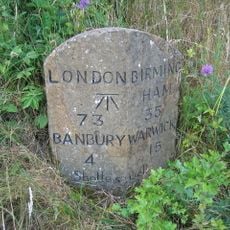
Milestone, rear northern village turn
2.9 kmVisitou este local? Toque nas estrelas para avaliá-lo e partilhar a sua experiência ou fotos com a comunidade! Experimente agora! Você pode cancelar a qualquer momento.
Encontra tesouros escondidos em cada aventura!
De pequenos cafés cheios de charme a miradouros secretos, foge das multidões e descobre lugares que têm mesmo a tua cara. A nossa app torna tudo simples: pesquisa por voz, filtros espertos, rotas otimizadas e dicas genuínas de viajantes do mundo inteiro. Descarrega já para viveres a aventura no teu telemóvel!

Uma nova abordagem para descobrir o turismo❞
— Le Figaro
Todos os lugares que valem a pena explorar❞
— France Info
Um passeio sob medida em apenas alguns cliques❞
— 20 Minutes