
Church Broughton, village and civil parish in South Derbyshire district, Derbyshire, England
Localização: South Derbyshire
Faz fronteira com: Barton Blount, Boylestone, Sudbury, Foston and Scropton, Hatton, Hoon, Sutton on the Hill
Coordenadas GPS: 52.90000,-1.69400
Última atualização: 7 de março de 2025 às 20:20
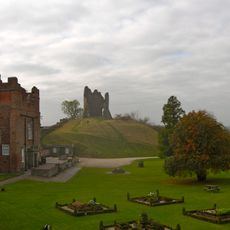
Tutbury Castle
4.5 km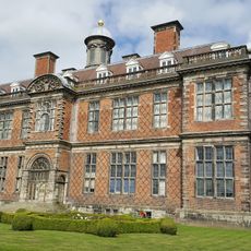
Sudbury Hall
5 km
National Trust
5.1 km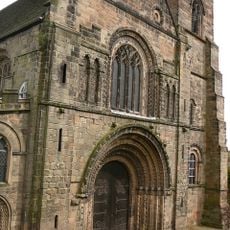
Church of St Mary
4.6 km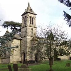
St John the Baptist's Church, Boylestone
3.3 km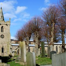
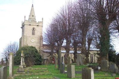
St Michael and All Angels' Church, Church Broughton
185 m
Medieval settlement, including site of chapel and part of the open field system, immediately north east of Alkmonton Old Hall Fa
4.2 km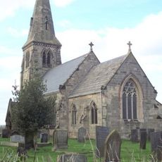
St Michael's Church, Sutton-on-the-Hill
3.1 km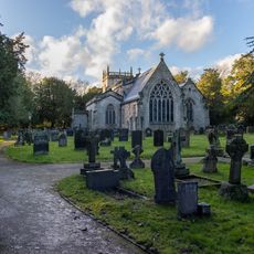
Church of All Saints, Sudbury
5.1 km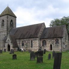
Church of St Paul
3.7 km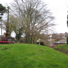
Tutbury War Memorial
4.6 km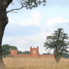
Folly Or Deercote In Park
4.5 km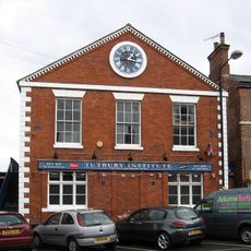
North west block of Tutbury Institute fronting street
4.7 km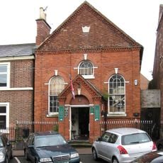
Wesleyan Methodist Chapel
4.8 km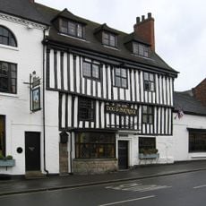
Dog And Partridge Hotel
4.8 km
Fauld Hall
5.2 km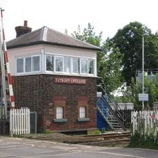
Tutbury Crossing Signal Box
4.1 km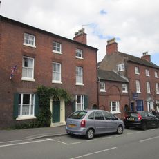
10, High Street
4.7 km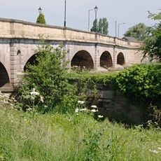
Tutbury Bridge
4.2 km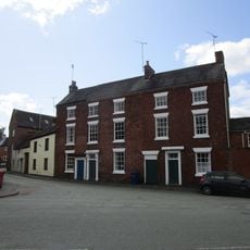
8-10, Duke Street
4.8 km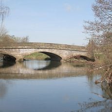
Aston Bridge
5 km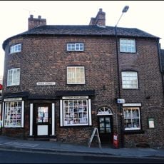
1, Duke Street
4.8 km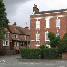
1, Castle Street
4.8 km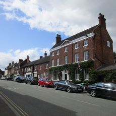
6 And 6A, High Street
4.8 km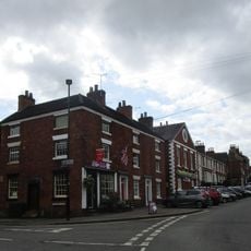
22 And 24, High Street
4.7 km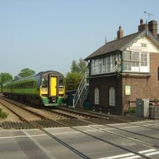
Sudbury Crossing Signal Box
5.3 km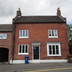
5, Monk Street
4.7 km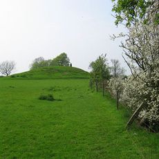
Hoon Mount platformed bowl barrow
3 kmVisitou este local? Toque nas estrelas para avaliá-lo e partilhar a sua experiência ou fotos com a comunidade! Experimente agora! Você pode cancelar a qualquer momento.
Encontra tesouros escondidos em cada aventura!
De pequenos cafés cheios de charme a miradouros secretos, foge das multidões e descobre lugares que têm mesmo a tua cara. A nossa app torna tudo simples: pesquisa por voz, filtros espertos, rotas otimizadas e dicas genuínas de viajantes do mundo inteiro. Descarrega já para viveres a aventura no teu telemóvel!

Uma nova abordagem para descobrir o turismo❞
— Le Figaro
Todos os lugares que valem a pena explorar❞
— France Info
Um passeio sob medida em apenas alguns cliques❞
— 20 Minutes