
Treborough, village and civil parish in Somerset, UK
Localização: Somerset
Coordenadas GPS: 51.11920,-3.40870
Última atualização: 16 de março de 2025 às 07:32
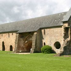
Cleeve Abbey
5.1 km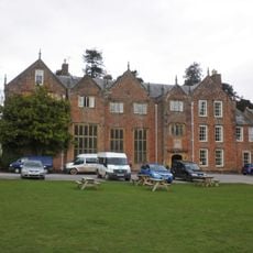
Nettlecombe Court
4.3 km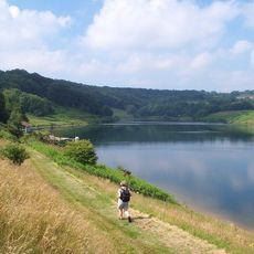
Clatworthy Reservoir
5.8 km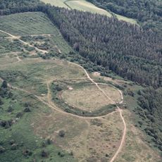
Bat's Castle
6.2 km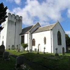
Church of St Nicholas, Withycombe
5 km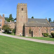
Church of St Mary the Virgin, Nettlecombe
4.3 km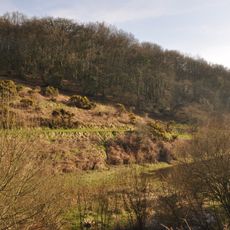
Clatworthy Camp
5.9 km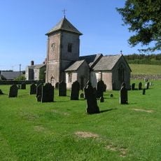
Church of St Peter
450 m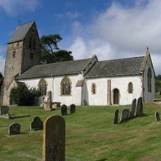
St Mary's Church, Luxborough
4.4 km
Croydon Hill
6.2 km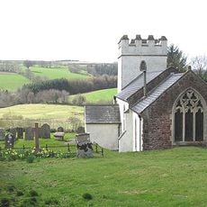
Church of St Mary Magdalene
4.3 km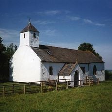
Church of St Bartholomew
3.1 km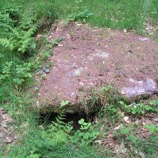
Cist and associated mound in Langridge Wood, 410m north west of Treborough Lodge
842 m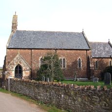
Church of St Giles
1.7 km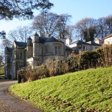
Chargot House
3.5 km
St Pancras Chapel
4.3 km
The Dragon House Hotel
5 km
River Cottage
5.1 km
Old Cleeve War Memorial
5 km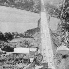
The Incline, lying between Brendon Hill and Comberow, and the remains of Combe Row Station
2 km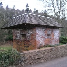
World War II pillbox at Vale House, 120m north east of Glasses Farm
2 km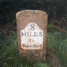
Milestone At Ngr St 0144 3334
3.1 km
Burrow Farm iron mine and section of mineral railway trackbed, 350m north east of Burrow Farm
2.1 km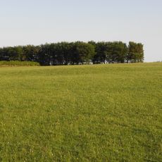
Bowl barrow 700m north east of Burrow Farm
1.9 km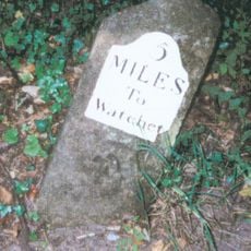
Milestone At Ngr St 0460 3613
3.1 km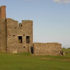
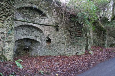
Burrow Farm Engine House And Remains Of Drying Shed About 10 Metres To West
2.1 km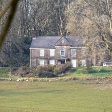
Middleton Court
4.2 km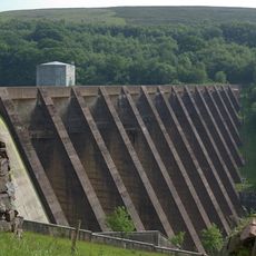
Wimbleball Lake
7.1 kmVisitou este local? Toque nas estrelas para avaliá-lo e partilhar a sua experiência ou fotos com a comunidade! Experimente agora! Você pode cancelar a qualquer momento.
Encontra tesouros escondidos em cada aventura!
De pequenos cafés cheios de charme a miradouros secretos, foge das multidões e descobre lugares que têm mesmo a tua cara. A nossa app torna tudo simples: pesquisa por voz, filtros espertos, rotas otimizadas e dicas genuínas de viajantes do mundo inteiro. Descarrega já para viveres a aventura no teu telemóvel!

Uma nova abordagem para descobrir o turismo❞
— Le Figaro
Todos os lugares que valem a pena explorar❞
— France Info
Um passeio sob medida em apenas alguns cliques❞
— 20 Minutes