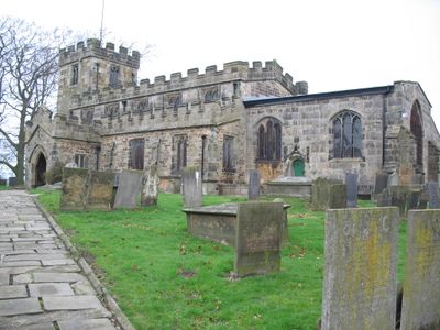
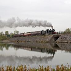
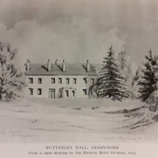
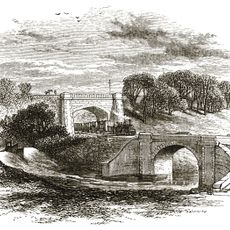
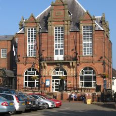
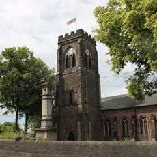
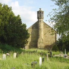
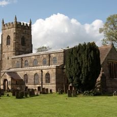
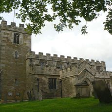
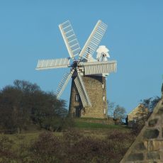
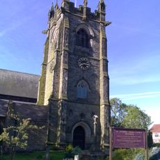
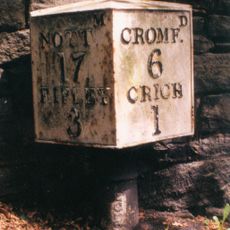
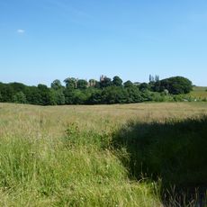
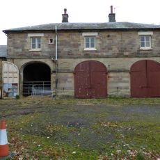
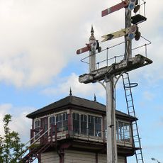
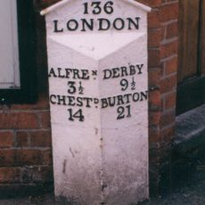
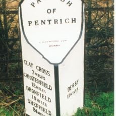
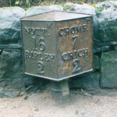
Pentrich, village and civil parish in Amber Valley district, Derbyshire, England
Localização: Amber Valley
Coordenadas GPS: 53.06813,-1.41991
Última atualização: 8 de março de 2025 às 07:30
Midland Railway – Butterley
1.5 km
Wingfield Manor
2.8 km
Alfreton Hall
3.7 km
Butterley Reservoir, Derbyshire
1.2 km
Butterley Hall
1.9 km
Bullbridge Aqueduct
3.5 km
Ripley Town Hall
2.1 km
All Saints' Church, Ripley
2.1 km
Church of St Luke
2.7 km
All Saints' Church, South Wingfield
3.4 km
Church of St Matthew
99 m
Heage Windmill
2.8 km
Church of St Andrew
1.6 km
Milepost At Entrance Gates To Park Lodge
3.3 km
Wingfield Hall
2.9 km
Former Stableblock To Alfreton Hall
3.8 km
South Wingfield Footpath Bridge (Spc8 56)
3 km
Wingfield Tunnel North Portal
2 km
House Of Confinement
3.5 km
Milepost
1.2 km
Signal Box To The North Of Track 480 Metres West Of Butterley Station, And 30 Metres East Of Asher Lane Railway Crossing
1 km
Milepost Adjacent To Number 8
2.4 km
Milepost To The West Of The Junction Of Chesterfield Road And Wood Lane
1.3 km
Milepost At Sk 369 522
2 km
Railway Bridge To The West Of Weirmill Bridge
1.6 km
Signal Box 30 Metres North East Of Cumberland House At The Midland Railway Trust Station
1.5 km
Railway Bridge South Of South Wingfield Stationmaster's House
3.2 km
Padley Hall
1.2 kmAvaliações
Visitou este local? Toque nas estrelas para avaliá-lo e partilhar a sua experiência ou fotos com a comunidade! Experimente agora! Você pode cancelar a qualquer momento.
Encontra tesouros escondidos em cada aventura!
De pequenos cafés cheios de charme a miradouros secretos, foge das multidões e descobre lugares que têm mesmo a tua cara. A nossa app torna tudo simples: pesquisa por voz, filtros espertos, rotas otimizadas e dicas genuínas de viajantes do mundo inteiro. Descarrega já para viveres a aventura no teu telemóvel!
Uma nova abordagem para descobrir o turismo❞
— Le Figaro
Todos os lugares que valem a pena explorar❞
— France Info
Um passeio sob medida em apenas alguns cliques❞
— 20 Minutes