Verwaltungsgemeinschaft Dohna-Müglitztal

Entre na sua conta

AroundUs é um mapa colaborativo de lugares interessantes, construído por exploradores curiosos como você. Ele cresce com cada avaliação, história e foto que você compartilha.
Conecte-se para salvar seus lugares favoritos, contribuir com locais e criar rotas personalizadas.
Ao continuar, você aceita nossos Termos e Condições e nossa Política de Privacidade

Verwaltungsgemeinschaft Dohna-Müglitztal

Adicionar à coleção
Mapa
Sugerir uma alteração
Partilhar

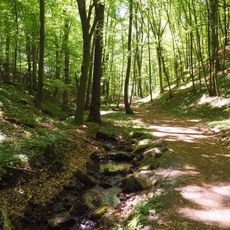
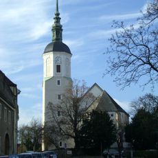
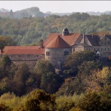
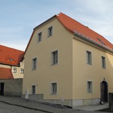
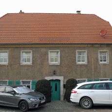
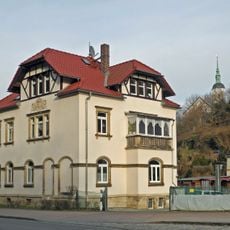
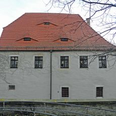
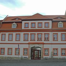
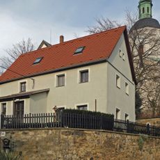
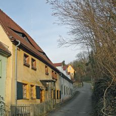
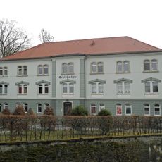
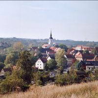
Verwaltungsgemeinschaft Dohna-Müglitztal, administrative community in the Free State of Saxony, Germany

Localização: Sächsische Schweiz-Osterzgebirge

Início: 1 de janeiro de 2000

Site: http://www.stadt-dohna.de/

Site: http://stadt-dohna.de

Coordenadas GPS: 50.95000,13.85000

Última atualização: 4 de março de 2025 às 03:42

Ao redor deste lugar
Mostrar o mapa completo
Dohna Castle
Germany

Dohna Castle

459 m
Spargründe bei Dohna
Germany

Spargründe bei Dohna

54 m
Marienkirche
Germany

Marienkirche

689 m
Fabrikantenvilla Altenberger Straße 4
Germany

Fabrikantenvilla Altenberger Straße 4

599 m
Burg Dohna, Burgschänke Pfarrstraße 6
Germany

Burg Dohna, Burgschänke Pfarrstraße 6

501 m
Fleischerbrunnen
Germany

Fleischerbrunnen

726 m
Wohnhaus in offener Bebauung, Nebengebäude und Einfriedungsmauer Pfarrstraße 2
Germany

Wohnhaus in offener Bebauung, Nebengebäude und Einfriedungsmauer Pfarrstraße 2

641 m
Wohnhaus in halboffener Bebauung Pfarrstraße 8
Germany

Wohnhaus in halboffener Bebauung Pfarrstraße 8

614 m
Wohnhaus in offener Bebauung Müglitztalstraße 2
Germany

Wohnhaus in offener Bebauung Müglitztalstraße 2

508 m
Pfarrhof mit Pfarrhaus (über U-förmigem Grundriss), Einfriedung und Torbogen Pfarrstraße 1
Germany

Pfarrhof mit Pfarrhaus (über U-förmigem Grundriss), Einfriedung und Torbogen Pfarrstraße 1

646 m
Wohnhaus in offener Bebauung Dippoldiswalder Straße 6
Germany

Wohnhaus in offener Bebauung Dippoldiswalder Straße 6

514 m
Wohnhaus einschließlich Schuppengebäude Pfarrstraße 3
Germany

Wohnhaus einschließlich Schuppengebäude Pfarrstraße 3

608 m
Wohnhaus in geschlossener Bebauung (ehem. Freigut) Am Markt 10
Germany

Wohnhaus in geschlossener Bebauung (ehem. Freigut) Am Markt 10

713 m
Wohnhaus in halboffener Bebauung Dippoldiswalder Straße 21
Germany

Wohnhaus in halboffener Bebauung Dippoldiswalder Straße 21

707 m
Wohnhaus (ehemals mit Gaststätte) in offener Bebauung Dippoldiswalder Straße 11
Germany

Wohnhaus (ehemals mit Gaststätte) in offener Bebauung Dippoldiswalder Straße 11

416 m
Wohnhaus in offener Bebauung, ehemalige Schule Pfarrstraße 11
Germany

Wohnhaus in offener Bebauung, ehemalige Schule Pfarrstraße 11

638 m
Wohnhaus in offener Bebauung Pfarrstraße 12
Germany

Wohnhaus in offener Bebauung Pfarrstraße 12

637 m
Müglitztalbahn (Sachgesamtheit); Brücke Sürßener Weg Gamig
Germany

Müglitztalbahn (Sachgesamtheit); Brücke Sürßener Weg Gamig

318 m
Wohnhaus in offener Bebauung Dippoldiswalder Straße 4
Germany

Wohnhaus in offener Bebauung Dippoldiswalder Straße 4

573 m
Wohnhaus in geschlossener Bebauung Dippoldiswalder Straße 22
Germany

Wohnhaus in geschlossener Bebauung Dippoldiswalder Straße 22

706 m
Wohnhaus in offener Bebauung Dippoldiswalder Straße 7
Germany

Wohnhaus in offener Bebauung Dippoldiswalder Straße 7

482 m
Wohnhaus in offener Bebauung Pfarrstraße 9
Germany

Wohnhaus in offener Bebauung Pfarrstraße 9

634 m
Wohnhaus in halboffener Bebauung Dippoldiswalder Straße 23
Germany

Wohnhaus in halboffener Bebauung Dippoldiswalder Straße 23

707 m
Wohnhaus in offener Bebauung Dippoldiswalder Straße 5
Germany

Wohnhaus in offener Bebauung Dippoldiswalder Straße 5

526 m
Wohnhaus in offener Bebauung Dippoldiswalder Straße 10
Germany

Wohnhaus in offener Bebauung Dippoldiswalder Straße 10

420 m
Wohnhaus (zwei Hausteile) in halboffener Bebauung Dippoldiswalder Straße 17
Germany

Wohnhaus (zwei Hausteile) in halboffener Bebauung Dippoldiswalder Straße 17

618 m
Rathaus Am Markt 11
Germany

Rathaus Am Markt 11

685 m
Schlossmühle Dohna
Germany

Schlossmühle Dohna

354 m
Mostrar o mapa completo

Avaliações

Visitou este local? Toque nas estrelas para avaliá-lo e partilhar a sua experiência ou fotos com a comunidade! Experimente agora! Você pode cancelar a qualquer momento.

Divisões administrativas
Verwaltungsgemeinschaft Dohna-Müglitztal: administrative community in the Free State of Saxony, Germany é fornecido por Around Us (pt.aroundus.com). As imagens e os textos são derivados do projeto Wikimedia sob uma licença Creative Commons. Você é permitido copiar, distribuir e modificar cópias desta página, sob as condições estabelecidas pela licença, desde que esta nota esteja claramente visível.

Encontra tesouros escondidos em cada aventura!

De pequenos cafés cheios de charme a miradouros secretos, foge das multidões e descobre lugares que têm mesmo a tua cara. A nossa app torna tudo simples: pesquisa por voz, filtros espertos, rotas otimizadas e dicas genuínas de viajantes do mundo inteiro. Descarrega já para viveres a aventura no teu telemóvel!

Around Us App Screenshot

Uma nova abordagem para descobrir o turismo

Le Figaro

Todos os lugares que valem a pena explorar

France Info

Um passeio sob medida em apenas alguns cliques

20 Minutes