
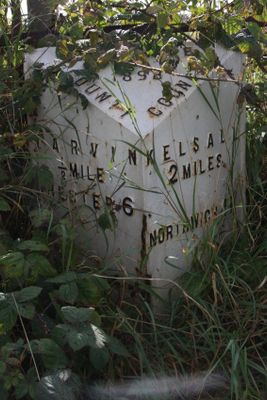
Milepost, Tarvin Sands, milepost in Tarvin, Chester, UK
Localização: Chester
Início: 19º século
Coordenadas GPS: 53.20342,-2.75689
Última atualização: 10 de março de 2025 às 21:28
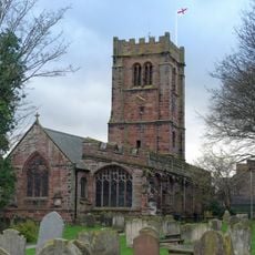
St Andrew's Church, Tarvin
752 m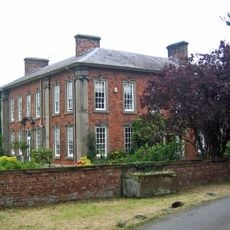
Hockenhull Hall
1.9 km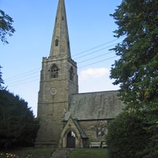
St John the Evangelist's Church, Ashton Hayes
2.5 km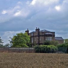
Peel Hall
2.1 km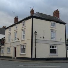
Red Lion
783 m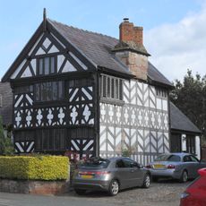
Church House
778 m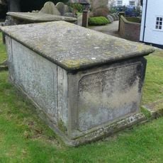
Tombchest of John Minshull and daughter, south-west corner of churchyard of St. Andrew
800 m
Number 86 and attached outbuilding
596 m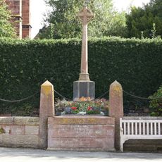
Tarvin War Memorial
797 m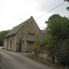
Ashton Village Hall
2.5 km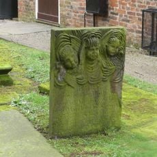
Tombstone of Beatrix Hollinsworth 12 metres west door of Church of St Andrew
776 m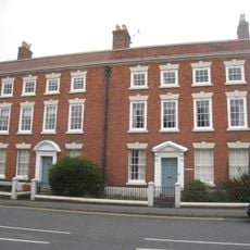
The Flaggs and Hamilton House, and front garden walls and gates
765 m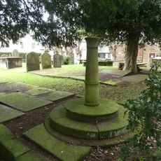
Sundial in the churchyard of St Andrew
791 m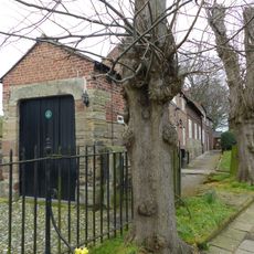
Church Hall, Grammar School House and the Hearse House
758 m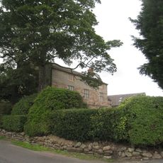
Ashton Hall Farmhouse
1.8 km
Laurel House
595 m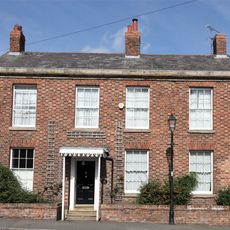
Roade House
855 m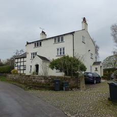
The White House
2.5 km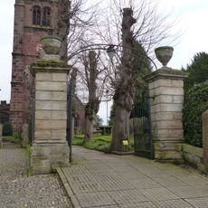
Gates and gatepiers to the churchyard of St. Andrew
787 m
76, High Street
624 m
78 and 80, High Street
611 m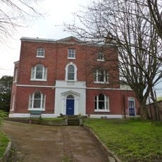
Tarvin Hall
903 m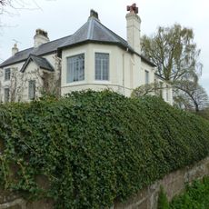
The Old Rectory
2.6 km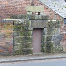
Lock up on the end of the barn at Weldon House
2.4 km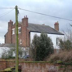
The Vicarage
824 m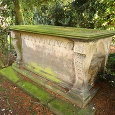
Tombchest of William Sandbach and others, 5m south-east of sundial in churchyard of St Andrew
794 m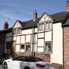
51, High Street
875 m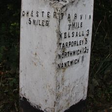
Milepost, E of on roundabout jct of A54 & A51
1.6 kmAvaliações
Visitou este local? Toque nas estrelas para avaliá-lo e partilhar a sua experiência ou fotos com a comunidade! Experimente agora! Você pode cancelar a qualquer momento.
Encontra tesouros escondidos em cada aventura!
De pequenos cafés cheios de charme a miradouros secretos, foge das multidões e descobre lugares que têm mesmo a tua cara. A nossa app torna tudo simples: pesquisa por voz, filtros espertos, rotas otimizadas e dicas genuínas de viajantes do mundo inteiro. Descarrega já para viveres a aventura no teu telemóvel!

Uma nova abordagem para descobrir o turismo❞
— Le Figaro
Todos os lugares que valem a pena explorar❞
— France Info
Um passeio sob medida em apenas alguns cliques❞
— 20 Minutes