
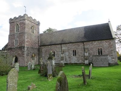
Church of St Andrew, church building in Woolaston, Forest of Dean, Gloucestershire, UK
Localização: Woolaston
Coordenadas GPS: 51.69131,-2.59923
Última atualização: 3 de março de 2025 às 21:16
Lydney Park
4.6 km
Tintern Quarry
4.3 km
Poor's Allotment
2.6 km
East Wood, Tidenham
2.6 km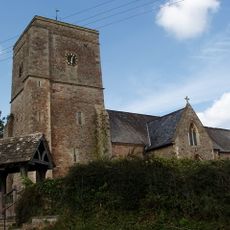
Church of St Mary and St Peter
4.7 km
Ridley Bottom
2.5 km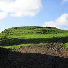
Hewelsfield Motte
3.4 km
Lippets Grove
4.7 km
Church of St Andrew
2.1 km
Church of St Mary Magdalen
3.4 km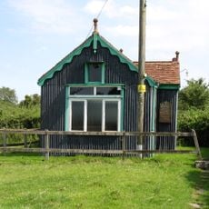
Church of St Mary the Virgin
4.3 km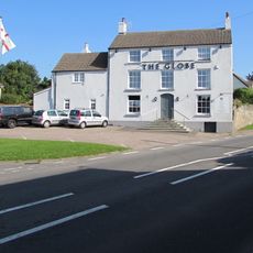
The Globe Inn
2.3 km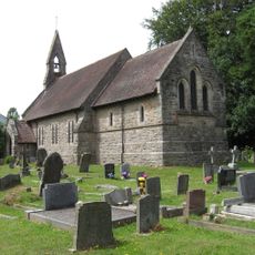
Saint Michael & All Angels
3.1 km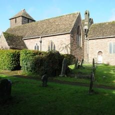
Church of St Mary
4 km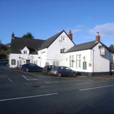
Cross Inn
3.9 km
The Swan
1.6 km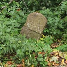
Milestone At Grid Reference St 559001
2.9 km
Aylburton Cross
3.9 km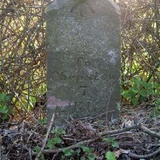
Milestone At Grid Reference 562028
4.3 km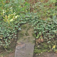
Milestone At Grid Reference St548972
4.4 km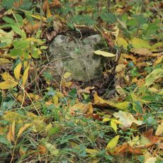
Milestone At Grid Reference St555986
3.2 km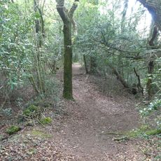
Offa's Dyke: section in Danehill Wood, 300m west of East Vaga
4 km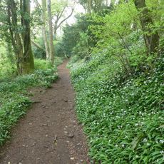
Offa's Dyke: section in Shorncliff Wood including the Devil's Pulpit, 790m south west of Sheepcot
4.4 km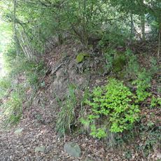
Offa's Dyke: section in Boatwood Plantation, 320m south west of Chase Farm
3.9 km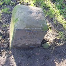
Milestone, 50m inside village from Lydney direction
4.2 km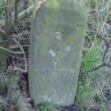
Milestone, 200m N of Alvington
2.7 km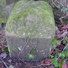
Milestone, opp. Stroat Farm
2.5 km
Milestone, N of jct to Harthill Court
4.3 kmVisitou este local? Toque nas estrelas para avaliá-lo e partilhar a sua experiência ou fotos com a comunidade! Experimente agora! Você pode cancelar a qualquer momento.
Encontra tesouros escondidos em cada aventura!
De pequenos cafés cheios de charme a miradouros secretos, foge das multidões e descobre lugares que têm mesmo a tua cara. A nossa app torna tudo simples: pesquisa por voz, filtros espertos, rotas otimizadas e dicas genuínas de viajantes do mundo inteiro. Descarrega já para viveres a aventura no teu telemóvel!

Uma nova abordagem para descobrir o turismo❞
— Le Figaro
Todos os lugares que valem a pena explorar❞
— France Info
Um passeio sob medida em apenas alguns cliques❞
— 20 Minutes