
Tunstall, village in Kent, United Kingdom
Localização: Borough of Swale
Coordenadas GPS: 51.31902,0.72063
Última atualização: 8 de março de 2025 às 10:08
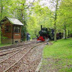
Bredgar and Wormshill Light Railway
3.6 km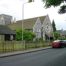
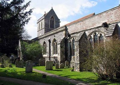
Church of All Saints, Murston
3.4 km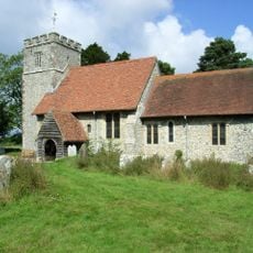
St Giles, Wormshill
4.1 km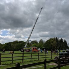
Bredgar & Wormshill Railway
3.6 km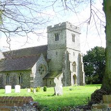
Church of St Dunstan
3.9 km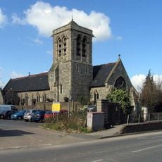
Church of the Holy Trinity
2.6 km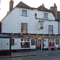
The Three Hats Inn
3.5 km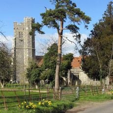
Church of St Nicholas
3 km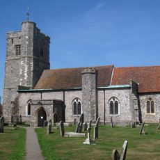
Church of St John the Baptist
1.9 km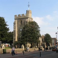
Church of St Michael
2.7 km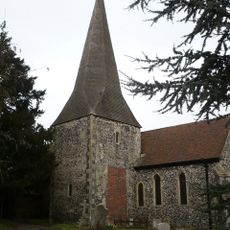
Church of St Lawrence
3.5 km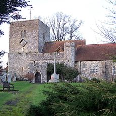
Church of St Peter and St Paul
2.2 km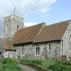
Church of St Bartholomew
3.9 km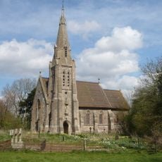
Church of St Catherine
3.9 km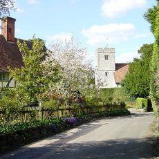
Church of St Mary and the Holy Cross
2.6 km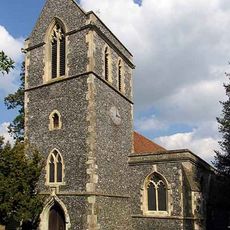
Church of St John the Baptist
624 m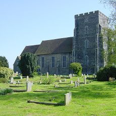
Parish Church of the Holy Trinity
4.3 km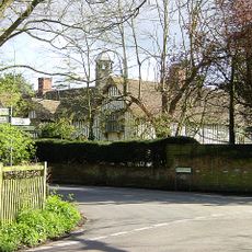
Milstead Manor
2.7 km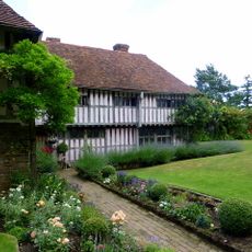
Bexon Manor
1.9 km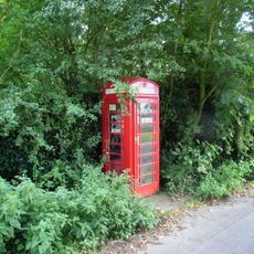
K6 Telephone Kiosk
4.2 km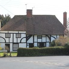
245 And 247, Borden Lane
1.7 km
Burnham House
1.9 km
Chantry House
1.9 km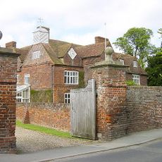
Tunstall House
588 m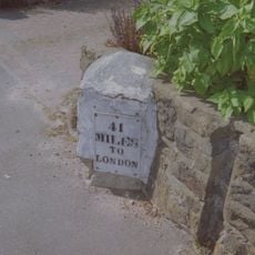
Milestone, Canterbury Road, by No. 201 "The Milestone"
3.4 km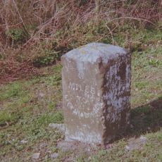
Milestone, Chestnut Street, opp. "Greenlands", S of bus shelter
3.9 km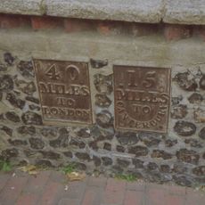
Milestone, High Street, SW corner of St Michael's Churchyard, in pedestrian zone
2.6 km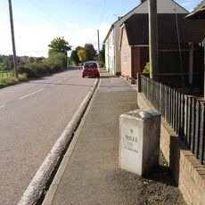
Milestone, Fox Cottage, Chestnut Street, just E of town between J5 of M2 and Key Street roundabout
3.2 kmAvaliações
Visitou este local? Toque nas estrelas para avaliá-lo e partilhar a sua experiência ou fotos com a comunidade! Experimente agora! Você pode cancelar a qualquer momento.
Encontra tesouros escondidos em cada aventura!
De pequenos cafés cheios de charme a miradouros secretos, foge das multidões e descobre lugares que têm mesmo a tua cara. A nossa app torna tudo simples: pesquisa por voz, filtros espertos, rotas otimizadas e dicas genuínas de viajantes do mundo inteiro. Descarrega já para viveres a aventura no teu telemóvel!

Uma nova abordagem para descobrir o turismo❞
— Le Figaro
Todos os lugares que valem a pena explorar❞
— France Info
Um passeio sob medida em apenas alguns cliques❞
— 20 Minutes