
Lullington, village and civil parish in South Derbyshire district, Derbyshire, England
Localização: South Derbyshire
Coordenadas GPS: 52.71422,-1.63702
Última atualização: 2 de março de 2025 às 20:01
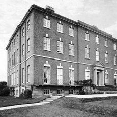
Catton Hall
4.4 km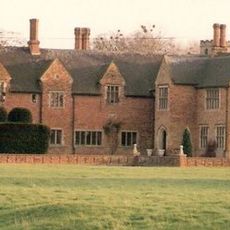
Croxall Hall
5 km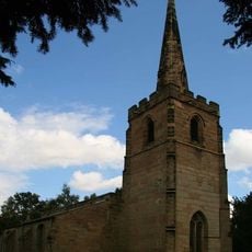
St Michael's Church, Stretton en le Field
5.9 km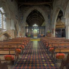
Church of St Andrew, Clifton Campville
2.3 km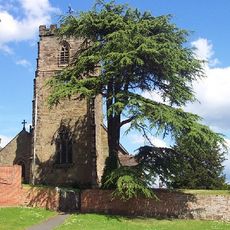
St Peter's Church, Netherseal
4.3 km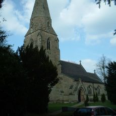
All Saints' Church, Lullington
354 m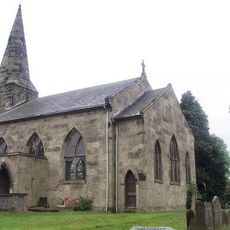
St Mary's Church, Rosliston
3.8 km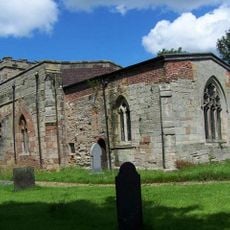
Church of St John the Baptist
4.9 km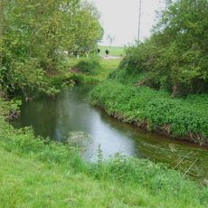
River Mease SSSI
3.2 km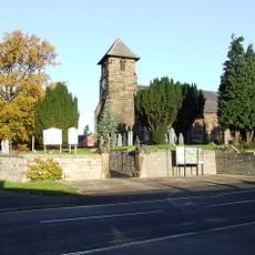
Church of St Matthew
5.4 km
Church of St Giles
4.3 km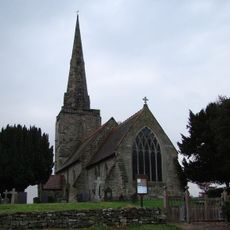
Church of All Saints
5.8 km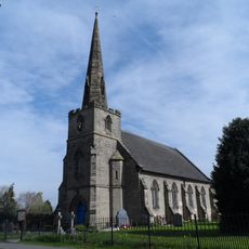
Church of St Mary
2.4 km
Church of Holy Trinity
3.3 km
Church of St Matthew
3.7 km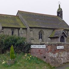
Church of St Matthew
4.1 km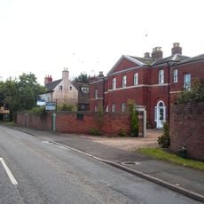
Overseal House
5.4 km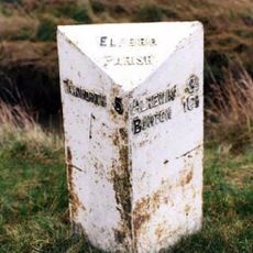
Mile Post At Ngr Sk 19661093
5.4 km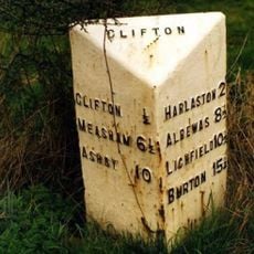
Milepost At Ngr Sk 2477 1091
2.1 km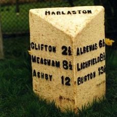
Milepost At Ngr Sk 2174 1110
3.5 km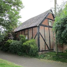
Former Stable Approximately 10 Yards North West Of The Old Vicarage
3.3 km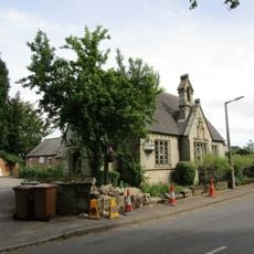
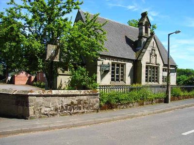
Village Hall
427 m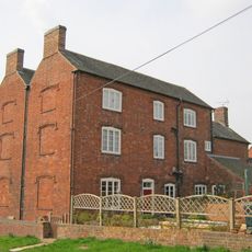
Hurst Farmhouse
4.2 km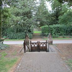
Churchyard Walls And Gates To All Saints Church
379 m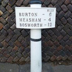
Milepost, Burton Road, by No. 6
5.4 km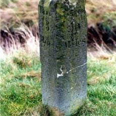
Milestone, near Greendales Farm (beside metal repalcement)
5.3 km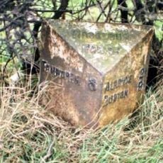
Milepost, near New Buildings Farm
4.6 km
Milepost, S of Croxall Road jct
5.4 kmAvaliações
Visitou este local? Toque nas estrelas para avaliá-lo e partilhar a sua experiência ou fotos com a comunidade! Experimente agora! Você pode cancelar a qualquer momento.
Encontra tesouros escondidos em cada aventura!
De pequenos cafés cheios de charme a miradouros secretos, foge das multidões e descobre lugares que têm mesmo a tua cara. A nossa app torna tudo simples: pesquisa por voz, filtros espertos, rotas otimizadas e dicas genuínas de viajantes do mundo inteiro. Descarrega já para viveres a aventura no teu telemóvel!

Uma nova abordagem para descobrir o turismo❞
— Le Figaro
Todos os lugares que valem a pena explorar❞
— France Info
Um passeio sob medida em apenas alguns cliques❞
— 20 Minutes